What is recorded here
Located to the ENE of Ballyvolan House, on a gentle SE facing slope of pasture land, formerly ploughed. It would appear from the landowner’s description that the stone was found upside down during ploughing within the area marked on the location map (SMR File). A sub-triangular shaped granite boulder (L 0.78m; Wth 0.6m) sloping in height from 0.48m at the highest point to 0.23m at the lowest end. The bullaun is located at the lower end and consists of a circular bowl-shaped depression (0.3m x 0.29m) ranging in depth from 0.22m to 0.1m. The underside of the stone is flat.
Date of upload: 29 September 2012
Likely dating to the early Christian or medieval period, bullaun stones were often used for ritual purposes, such as anointing or as holy water basins, and may have had associations with local saints or folklore.
The monument record does not grant public access. Check the route and ask the landowner before entering private land.
- What survives
- Recorded monument
Places near here
 CastleCastle, ringwork · 484 yd
 IndicatedFairy fort / earthen ringfort · 631 yd
 Church in ruinsChurch · 813 yd
 St. Patricks WellHoly well · 1065 yd
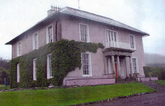 Kiltimon Housecountry house · 1172 yd
 Castle (in Ruins)Castle, ringwork · 1.3 mi
 East Coast Nature ReserveNature reserve · 1.7 mi
 Leamore StrandBeach / strand · 2.6 mi
 SycamoreSycamore · 2.8 mi
 Devil's Glen WaterfallWaterfall · 4.0 mi
 Glenroe FarmHeritage attraction · 4.2 mi
 Victor's WayHeritage attraction · 6.0 mi