
What is recorded here
Slab covered well in the centre of a farmyard. The Ordnance Survey Letters of 1838-40 (O'Flanagan 1928, 95-6) recorded that 'a well now closed up, but formerly much frequented under the name of Tubber Patrick or Patrick's Well; this well is in Mr. Gorman's yard'.
Date of upload: 29 November 2012
St. Patrick's Well at Kiltimon was historically a site of pilgrimage associated with the patron saint of Ireland, St. Patrick, and was known as Tubber Patrick. It was reportedly much frequented before being closed up, likely due to changing religious practices or local suppression of traditional customs.
The monument record does not grant public access. Check the route and ask the landowner before entering private land.
- What survives
- Recorded monument
Places near here
 IndicatedFairy fort / earthen ringfort · 704 yd
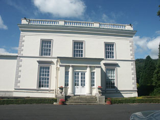 Dunran Castlecountry house · 731 yd
 Kiltimon Castlecastle/fortified house · 735 yd
 CastleCastle, ringwork · 1016 yd
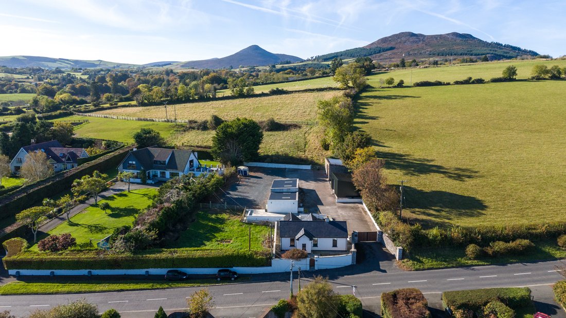 Enclosure in CourtfoyleEnclosure · 1394 yd
 Castle (in Ruins)Castle, ringwork · 1.8 mi
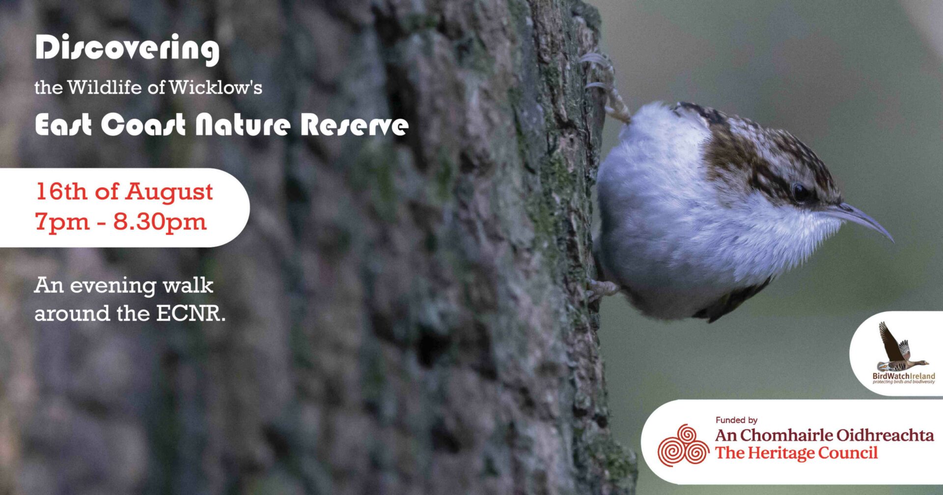 East Coast Nature ReserveNature reserve · 2.3 mi
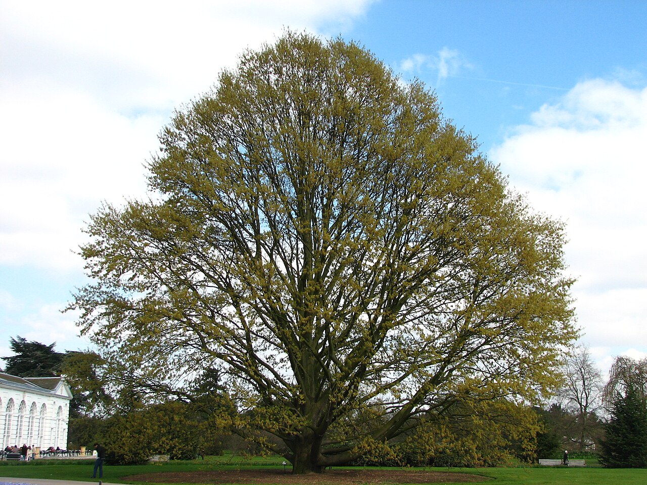 Chestnut-leaved OakChestnut-leaved Oak · 3.0 mi
 Leamore StrandBeach / strand · 3.2 mi
 Devil's Glen WaterfallWaterfall · 3.4 mi
 Glenroe FarmHeritage attraction · 4.6 mi
 Carrick MountainMountain / peak · 5.5 mi
Other information
Photo: Credit not shown in the picture search · Rights wording not checked; contact us if this picture should be removed