
What is recorded here
Situated at the W end of an E-W ridge and forming part of the medieval borough of Newcastle (WI019-005----). Earliest references to the castle formerly known as Newcastle McKynegan date to c. 1210-13 (Orpen 1908, 129). Circular level platform (summit dims. 63m E-W; 62m N-S; max. base dims. 102m E-W; 88m N-S) fashioned from a natural ridge and defined by a steep scarp. There are very slight traces of an earthen bank (Wth 3-4m; max. H 0.3m) around the W, N and E edges of the platform. At the E there is a wide fosse (Wth 5m; D 1m) at the foot of the platform scarp which cuts the site off from the rest of the ridge on which it sits. The base of the fosse is 4m below the platform and less than 1m below the external ground level at the E. To the N and S the fosse levels out into a narrow terrace (Wth 5m at the S; 2-5m at the N; Wth of fosse 5-6m at the W). At the W end of the platform are the remains of an Anglo-Norman stone castle/gatehouse (WI019-005002-) which gives access to the interior of the ringwork in a similar manner to the castle earthwork at Castle Kevin (WI024-003001-). A causeway (Wth 5m) occurs directly opposite the entrance to the castle and 10m to the W of it. A possibly cobbled approach to the stone castle fans out towards the castle angles from the causeway, edged with a setting of small stones. (CUCAP, BDE 17) The cropmark of a semi-circular shaped ditch can be seen on aerial photographs which could be the remains of an outer bailey (www.bingmaps.com) (SMR file).
The above description is derived from the published 'Archaeological Inventory of County Wicklow' (Dublin: Stationery Office, 1997). In certain instances the entries have been revised and updated in the light of recent research.
Compiled by: Caimin O'Brien
Date of upload/revision: 16 November 2012
Built by the McKynegan family in the early 13th century, Newcastle Middle Castle was part of the defensive and administrative infrastructure of the medieval borough of Newcastle. It is remembered for its association with the prominent local family and its role in the regional power dynamics of medieval Wales.
The monument record does not grant public access. Check the route and ask the landowner before entering private land.
- What survives
- Recorded monument
Places near here
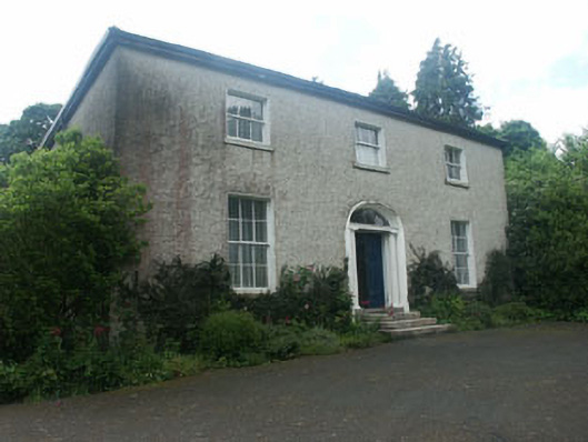 Millbrook Househouse · 77 yd
 Church, Grave YardChurch · 143 yd
 IndicatedFairy fort / earthen ringfort · 707 yd
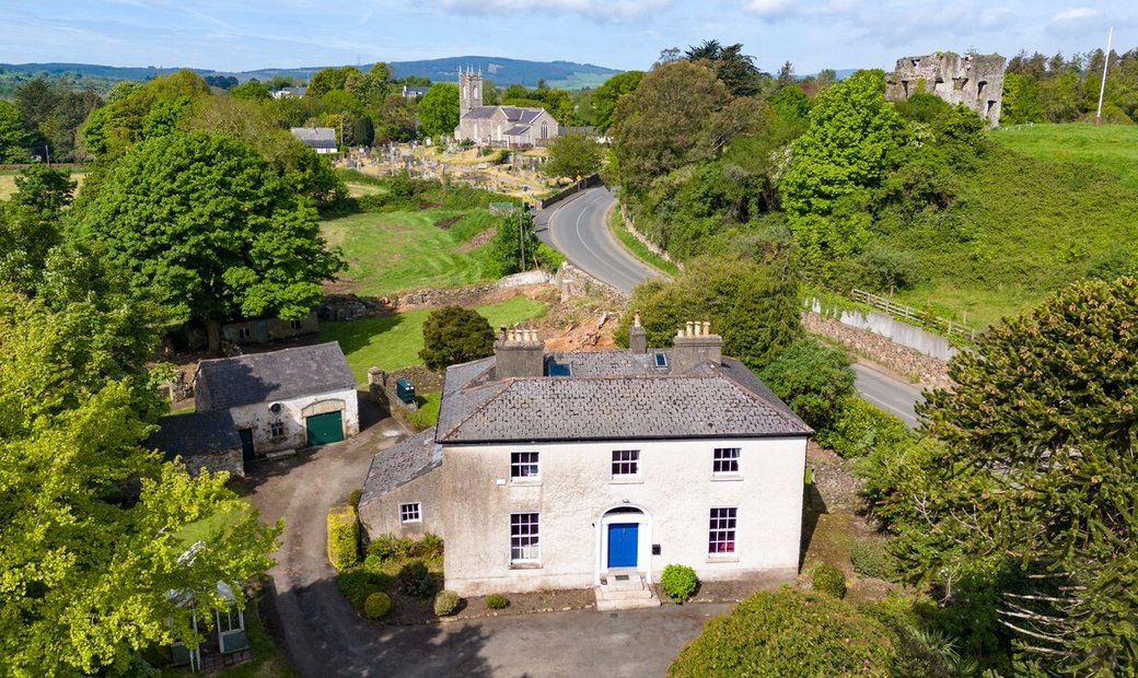 Enclosure in Newcastle LowerEnclosure · 785 yd
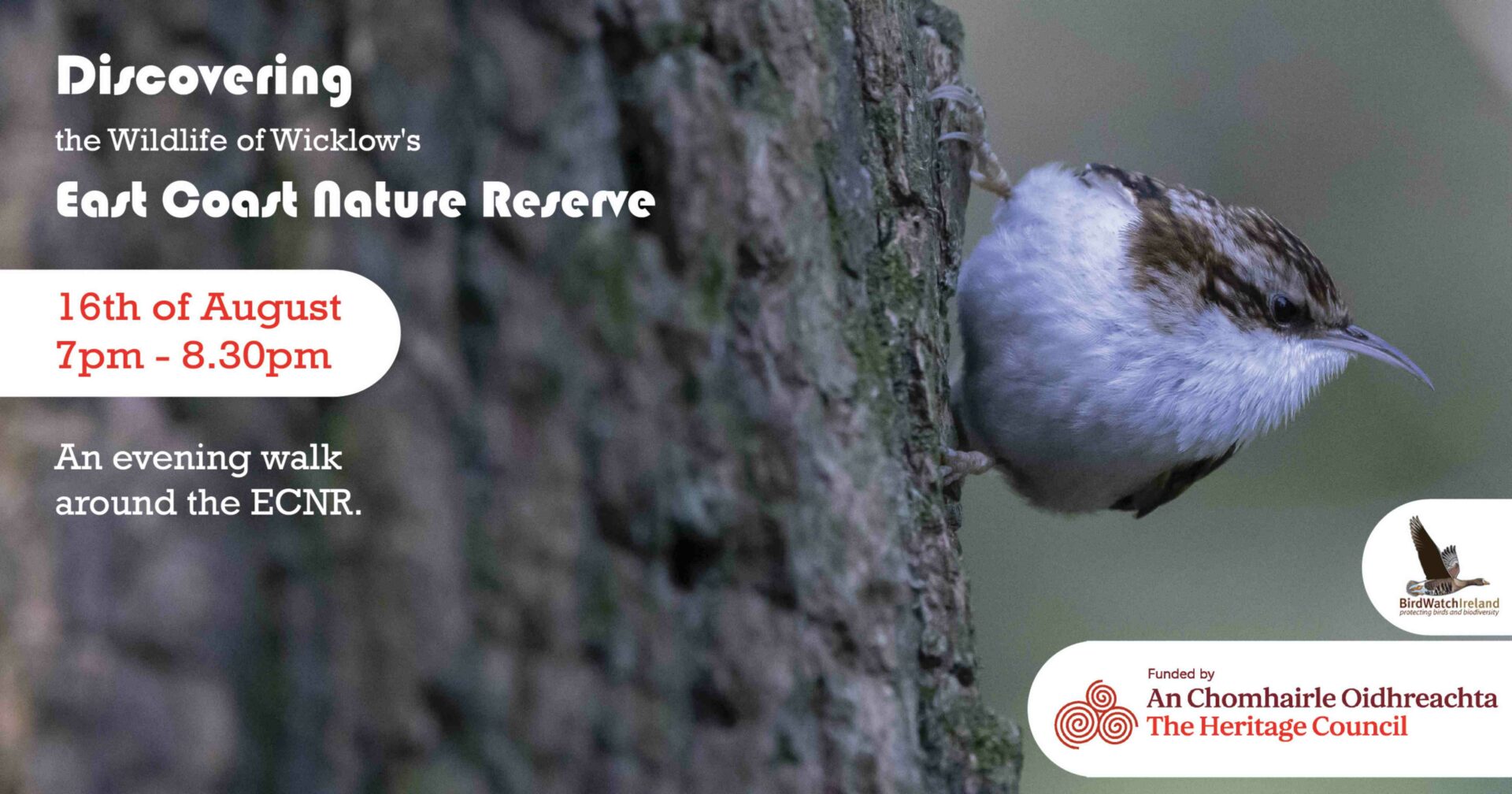 East Coast Nature ReserveNature reserve · 1.4 mi
 SycamoreSycamore · 1.5 mi
 CastleCastle, ringwork · 1.6 mi
 Leamore StrandBeach / strand · 1.6 mi
 Glenroe FarmHeritage attraction · 2.9 mi
 Delgany Heritage TrailWalking route · 4.4 mi
 Kindlestown Castle (in ruins)Castle, hall-house · 4.7 mi
 Greystones South BeachBeach / strand · 4.8 mi
Other information
Photo: Credit not shown in the picture search · Rights wording not checked; contact us if this picture should be removed