
What is recorded here
Situated on a gentle W-facing slope overlooking a broad valley. A rectangular structure (dims. c. 14m x 8m) with a splayed doorway (int. Wth 1.08m; ext. Wth 0.75m) in the S wall, and a splayed window towards the E end of the N wall. It contains a subrectangular granite font (dims. 0.75m x 0.47m x 0.38m), and a holy water stoup (dims. 0.44m x 0.32m x 0.18m) in the NE corner.
Date of upload: 28 September 2012
This monument is subject to a preservation order made under the National Monuments Acts 1930 to 2014 (PO no. 133/1940).
The monument record does not grant public access. Check the route and ask the landowner before entering private land.
- What survives
- Recorded monument
Places near here
 CastleCastle, ringwork · 330 yd
 IndicatedFairy fort / earthen ringfort · 405 yd
 St. Patricks WellHoly well · 1081 yd
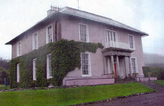 Kiltimon Housecountry house · 1643 yd
 Kiltimon Castlecastle/fortified house · 1.0 mi
 Castle (in Ruins)Castle, ringwork · 1.8 mi
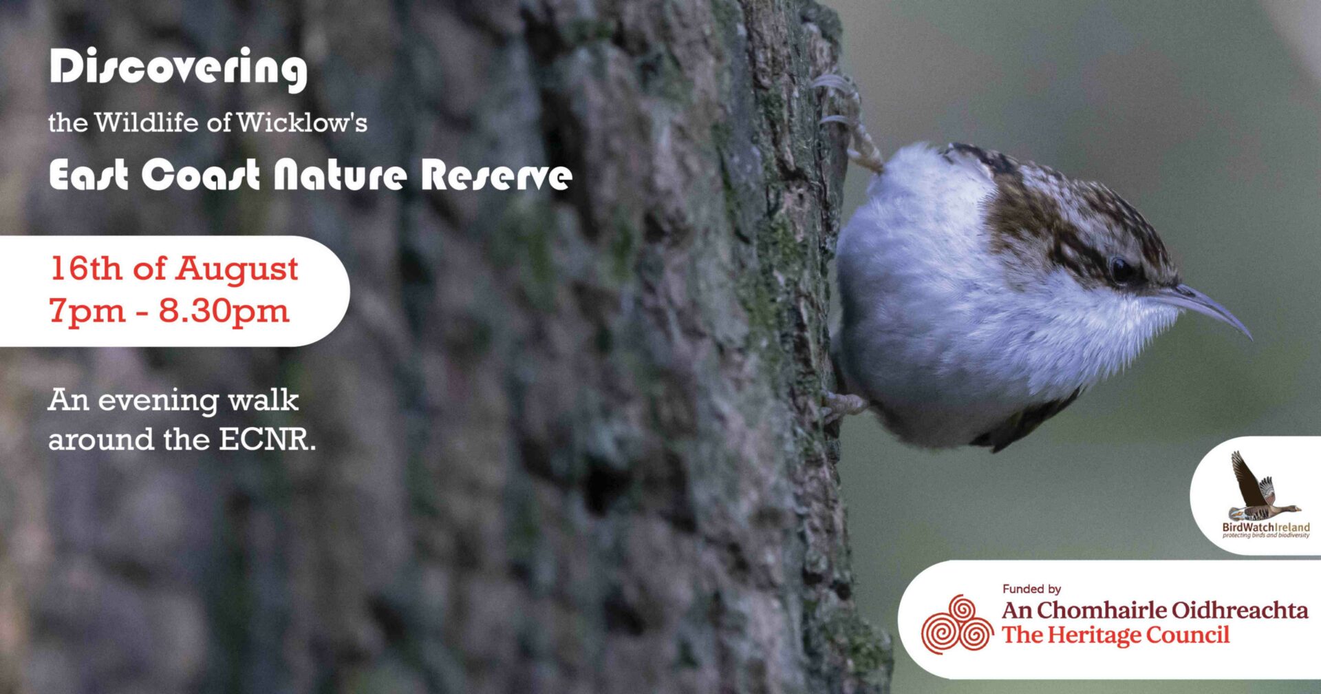 East Coast Nature ReserveNature reserve · 1.9 mi
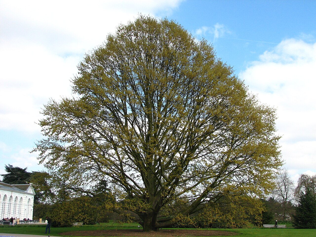 Chestnut-leaved OakChestnut-leaved Oak · 2.9 mi
 Leamore StrandBeach / strand · 3.0 mi
 Devil's Glen WaterfallWaterfall · 3.9 mi
 Glenroe FarmHeritage attraction · 4.7 mi
 Carrick MountainMountain / peak · 5.7 mi
Other information
Photo: Credit not shown in the picture search · Rights wording not checked; contact us if this picture should be removed