
What is recorded here
Situated on a gentle S-facing slope at the edge of steeper ground. Circular area (diam. 28m) with a raised interior defined by an earthen bank (Wth 1.8m; int. H 0.5m; ext. H 1.2-2m) from NW-E-SW with an outer drystone facing, possibly not original. There is an outer fosse (Wth 1-1.8m; D 0.3m) from N-SE. The interior is level and appears to have been infilled to provide an extension to a horse-training paddock to the W where both the bank and fosse have been removed. The interior is now c. 1m higher than the outer ground level. No indication of an entrance or internal features.
The above description is derived from the published 'Archaeological Inventory of County Wicklow' (Dublin: Stationery Office, 1997). In certain instances the entries have been revised and updated in the light of recent research.
Date of upload/revision: 17 December 2008
A local fairy fort (ringfort/rath); wider significance not recorded.
The monument record does not grant public access. Check the route and ask the landowner before entering private land.
- What survives
- Recorded monument
Places near here
 CastleCastle, ringwork · 333 yd
 Church in ruinsChurch · 405 yd
 St. Patricks WellHoly well · 704 yd
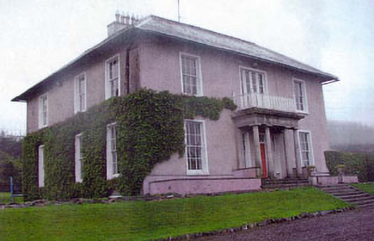 Kiltimon Housecountry house · 1242 yd
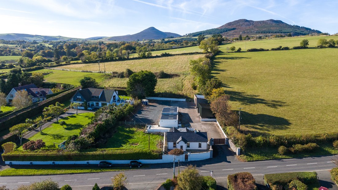 Enclosure in CourtfoyleEnclosure · 1647 yd
 Castle (in Ruins)Castle, ringwork · 1.7 mi
 East Coast Nature ReserveNature reserve · 2.0 mi
 Leamore StrandBeach / strand · 3.0 mi
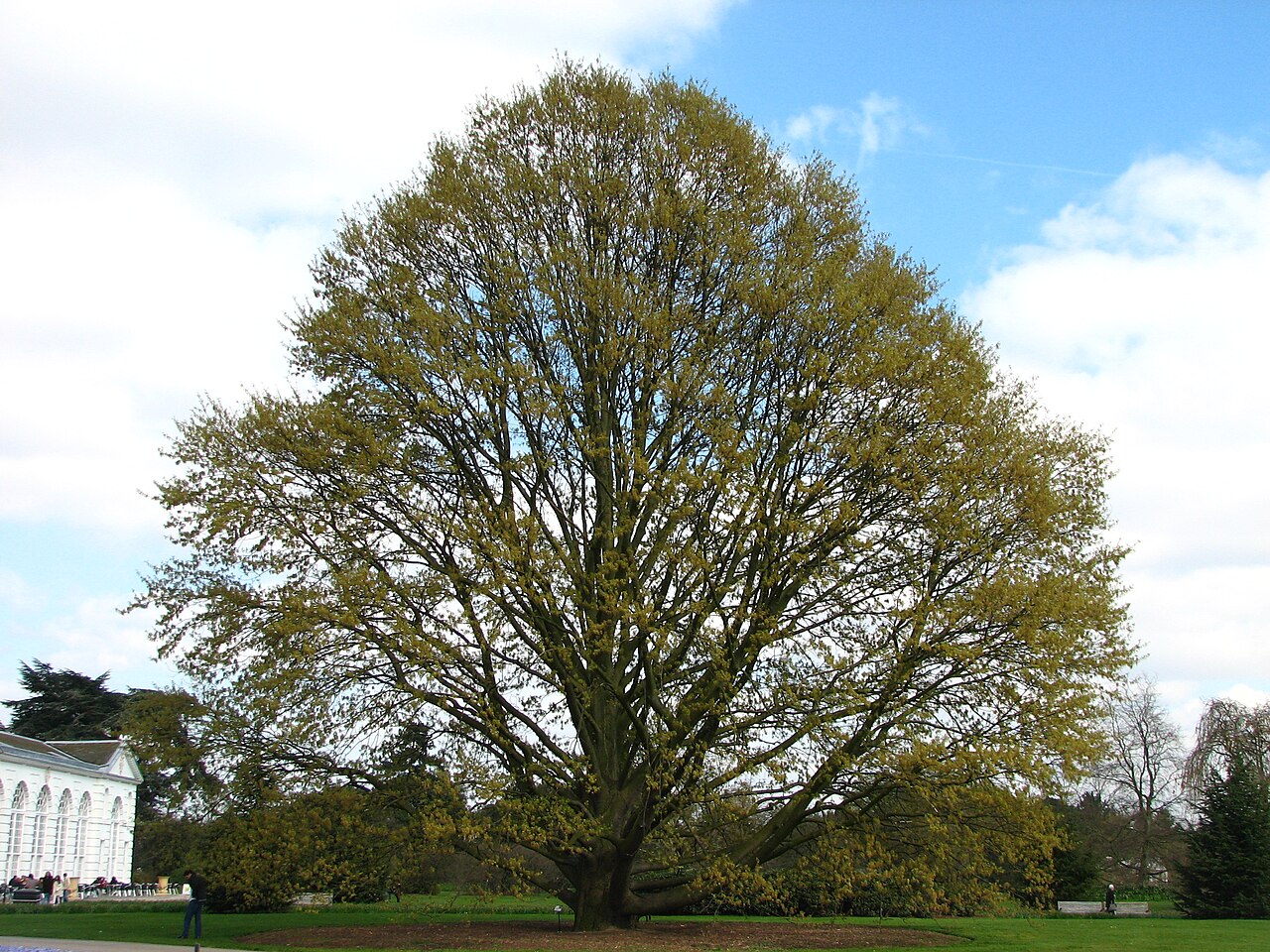 Chestnut-leaved OakChestnut-leaved Oak · 3.0 mi
 Devil's Glen WaterfallWaterfall · 3.8 mi
 Glenroe FarmHeritage attraction · 4.6 mi
 Carrick MountainMountain / peak · 5.7 mi
Other information
Photo: Credit not shown in the picture search · Rights wording not checked; contact us if this picture should be removed