DDiscover AloneMapAbout

Ecclesiastical enclosure in Downings North

Ecclesiastical enclosure
Computer-made picture that does not show Ecclesiastical enclosure in Downings NorthNot a photo of this monument
Computer-made picture. It does not show this monument. · Report the wrong picture

What is recorded here

According to Comerford (1886, 78) this is the site of the 'cell' of St Farnan, a 6th century saint, and a holy well (KD013-009-) dedicated to St. Farnan lies c. 450m to the WSW. Tickell (1960, 408) records a reference to the later, medieval parish church (KD013-008002-) of Downings here, in a Royal Grant of 1627 to…

Read the whole record
According to Comerford (1886, 78) this is the site of the 'cell' of St Farnan, a 6th century saint, and a holy well (KD013-009-) dedicated to St. Farnan lies c. 450m to the WSW. Tickell (1960, 408) records a reference to the later, medieval parish church (KD013-008002-) of Downings here, in a Royal Grant of 1627 to Sir Maurice Eustace. The monuments lie on the crest of a short, low, N-facing pasture slope, overlooking an extensive tract of bog to the N, and comprise; a possible early ecclesiastical enclosure (KD013-008001-) which contains a medieval parish church (KD013-008002-), a graveyard (KD013-008003-), a cross-inscribed stone (KD013-008004-), a fragment of a baptismal font (KD013-008005-), and the unlocated saints cell (KD013-008006-). A ringfort lies c. 200m to the E (KD013-007----). A large D-shaped area (int. diam. c. 88m NE-SW) with a straight NW side (L c. 75m) is defined by a low, inner earthen bank (dims. Wth 4-5m; int. H 0.4-0.7m; ext. H 0.4-1.3m at S) SW-N-SE, and elsewhere by a low scarp (H 0.9m) whose external face is retained by a modern stone wall (av. H 1.2m; T 0.4m) which also retains the external face of the enclosing bank at E but which runs outside the bank along the S and on top of the bank along the N. A shallow fosse (Wth 1.2-2.5m at E; D 0.4-0.6m) runs outside the bank.

From the National Monuments Service (Archaeological Survey of Ireland) record KD013-008001

The monument record does not grant public access. Check the route and ask the landowner before entering private land.

What do you know about this place?Tap to add a comment or ask a question

What you write will be public.

Places near here

Photo credits
  • Caragh Gaelic Football Club website; individual photographer not named, www.caraghgfc.com
  • National Inventory of Architectural Heritage
  • George Cruikshank, Wikimedia Commons · Public domain
  • Littlejohnyprosperous at English Wikipedia, Wikimedia Commons · Public domain
  • JP, Geograph · CC BY-SA 2.0
  • Picture: kildaregaa.ie
St. Farnan's Park, CaraghGAA ground · 1241 ydThe PresbyteryHouse · 1602 yd

Explorer Tom The Presbytery in Curryhills looks like it’s judging your posture from across the lane. It was fancy back then, but now…

Battle of ProsperousMajor battlefield · 1607 yd

Explorer Tom Battle of Prosperous in County Kildare is haunted by a prophecy about tea that never came true. The ghosts are still…
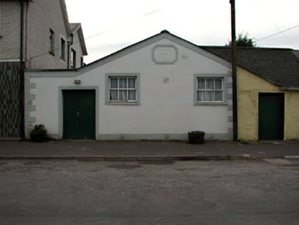
Prosperous Parish HallChurch hall/parish hall · 1744 yd

Explorer Tom Prosperous Parish Hall has a stubborn bird that refuses to leave despite all efforts, which I personally find rather…
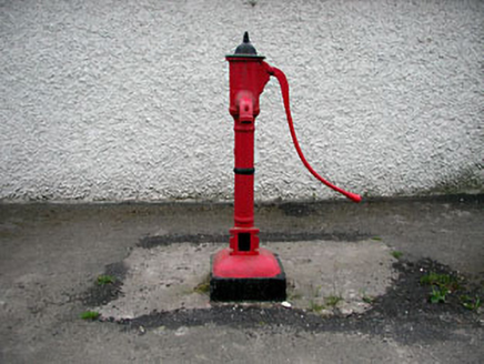
water pump1756 yd

Explorer Tom Water pump in Curryhills has a serious feud with the rain because it hates getting wet again. It’s an early cast-iron…
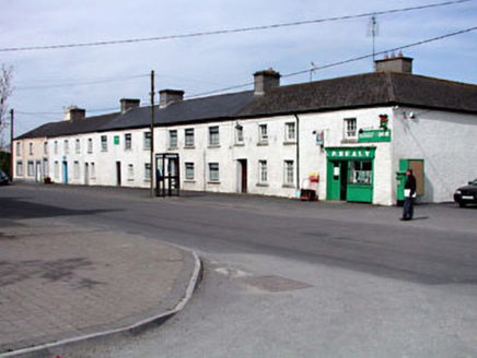
factory1.0 mi

Explorer Tom Factory in Curryhills would survive a zombie attack by hiding under its long, low roof and pretending to be a bench.…
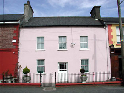
Brook LodgeHouse · 1.0 mi

Explorer Tom Brook Lodge in Curryhills keeps getting picked on by the wind because it’s too proud to lower its roofline. It’s been…

Catholic Church of Our Lady and Saint JosephChurch/chapel · 1.1 mi

Explorer Tom Catholic Church of Our Lady and Saint Joseph in Curryhills nearly made the national news for being too beautiful to be…

Grand Canal WayWalking route · 1.3 mi

Explorer Tom Grand Canal Way in County Kildare is where the rabbits hold their weekly strategy meetings, usually deciding which lock…

Curryhills HouseHouse · 1.5 mi

Explorer Tom Curryhills House in Curryhills would be the awkward uncle at any wedding, standing perfectly still. It’s red brick and…

Coill Dubh GAA pitchGAA ground · 1.8 miRobertstown GAA pitchGAA ground · 1.9 mi

More archaeology and monuments in County Kildare · All of County Kildare

Add to this placeAdd a picture Add a detailed tip Add a story

Explore the map1,095,414 places to discover

Next place · or swipeSt. Farnan's Park, Caragh