
What is recorded here
The monument is named 'Rath' and shown on the 1st ed. (1838) of the OS 6-inch map as a roughly circular area (est. diam c. 40m). In 1972, it was described as a roughly oval platform-type ringfort (int. diams. 50m E-W; 27m N-S) built on a slight rise, with no trace of a bank or fosse. By 1986, however, only a rise was visible (SMR file).
Compiled by: Gearóid Conroy
Date of upload: 10 June 2011
The monument record does not grant public access. Check the route and ask the landowner before entering private land.
- What survives
- Recorded monument
Places near here
 Church (in Ruins)Church · 212 yd
 St. Farnans WellHoly well · 733 yd
 Ballynafagh Bog Special Area of ConservationNature reserve · 769 yd
 Enclosure in Downings NorthEnclosure · 1052 yd
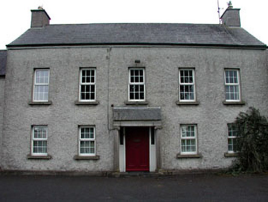 The Presbyteryhouse · 1381 yd
 The Kildare MazeHeritage attraction · 1.3 mi
 Blackwood Castle (in ruins)Castle, tower house · 1.4 mi
 Grand Canal WayVisitor information · 2.1 mi
 Museum of MotorsportMuseum · 2.6 mi
 Queen Buans GraveCastle, motte and bailey · 3.6 mi
 1798 Rebellion MemorialMemorial · 3.6 mi
 Loughtown CovertWood · 4.5 mi
Other information
Photo: Credit not shown in the picture search · Rights wording not checked; contact us if this picture should be removed