
What is recorded here
Situated at the summit of a small NW-SE drumlin ridge. It is depicted as a circular embanked enclosure (ext. diam. c. 25m) described as ‘Corkeeran fort’ only on the 1834 edition of the OS 6-inch map. The perimeter could be incorporated into a curve in a field bank SE-SW visible as a scarp (H c. 1m) but no other feature was visible in 1984. It can be seen as a circular cropmark defined by a single bank feature on the OSI series of aerial images (1995).
The above description is derived from the published 'Archaeological Inventory of County Monaghan' (Dublin: Stationery Office, 1986). In certain instances the entries have been revised and updated in the light of recent research.
Date of revision: 31 July 2017
The monument record does not grant public access. Check the route and ask the landowner before entering private land.
- What survives
- Recorded monument
Places near here
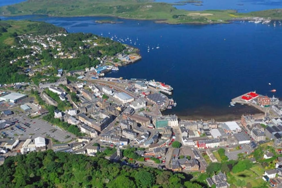 Campbells fortFairy fort / earthen ringfort · 877 yd
 Promontory fortPromontory fort, inland · 1197 yd
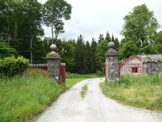 Lough Fea Housedemesne walls/gates/railings · 1.1 mi
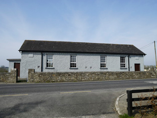 Carrickashedoge National Schoolschool · 1.3 mi
 CastleCastle, motte and bailey · 2.0 mi
 Flat cemetery in AnnaheanFlat cemetery · 2.1 mi
 Monkey-puzzleMonkey-puzzle · 2.3 mi
 European BeechEuropean Beech · 2.5 mi
 BarleyhillMountain / peak · 3.8 mi
 Mannan Castle (in ruins)Castle, Anglo-Norman masonry castle · 4.5 mi
 CabraMountain / peak · 4.8 mi
 Man-made underground passage in Killark (farney By.)Man-made underground passage · 1.2 mi
Other information
Photo: Credit not shown in the picture search · Rights wording not checked; contact us if this picture should be removed