What is recorded here
Magic and life entangle here. The fort is a living chamber where human memory and fairy time overlap. To enter is to stop measuring and start witnessing. What you receive depends on whether you come as a victim or a friend.
Situated on a slight E-W ridge with hollows to the N and S. This is a circular, slightly domed and grass-covered area with some apple trees (diam. 37m E-W; 34m N-S) defined by an overgrown earthen bank (Wth 5-5.6m; int. H 0.4-0.8m; ext. H 1-1.2m), with slight traces of a fosse WSW-NW. The entrance (Wth of base 2m) is at SSE.
The above description is derived from the published 'Archaeological Inventory of County Monaghan' (Dublin: Stationery Office, 1986). In certain instances the entries have been revised and updated in the light of recent research.
Date of revision: 31 July 2017
The monument record does not grant public access. Check the route and ask the landowner before entering private land.
- What survives
- Recorded monument
Places near here
 IndicatedFairy fort / earthen ringfort · 432 yd
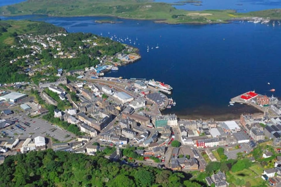 Campbells fortFairy fort / earthen ringfort · 1269 yd
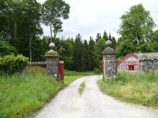 Lough Fea Housedemesne walls/gates/railings · 1513 yd
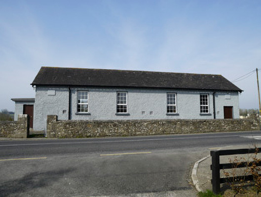 Carrickashedoge National Schoolschool · 1.2 mi
 Monkey-puzzleMonkey-puzzle · 2.1 mi
 European BeechEuropean Beech · 2.2 mi
 Flat cemetery in AnnaheanFlat cemetery · 2.3 mi
 BarleyhillMountain / peak · 3.7 mi
 Mannan Castle (in ruins)Castle, Anglo-Norman masonry castle · 4.4 mi
 Natural Play AreaMemorial · 4.4 mi
 Castle ruinsCastle, unclassified · 4.5 mi
 CabraMountain / peak · 4.7 mi