
What is recorded here
Situated in Creeve Lake Upper, an oval lake (max. dims c. 550m ENE-WSW; c. 220m N-S) which was once attached to Creeve Lake Lower, a subrectangular lake (dims c. 700m NW-SE; c. 17-380m NE-SW), the S end of which is c. 100m to the W. It is depicted as the more southerly of two islands only on the 1907 edition of the OS…
Read the whole record
From the National Monuments Service (Archaeological Survey of Ireland) record MO024-009
Places near here
Photo credits
- National Inventory of Architectural Heritage
- Kenneth Allen, Geograph · CC BY-SA 2.0
- Maker not stated on source page, tr.pinterest.com
- Maker not stated on source page, irishheritagenews.ie
- Maker not stated on source page, www.wikidata.org
- Maker not stated on source page, www.neverstoptraveling.com
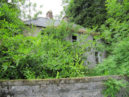 AshgroveHouse · 982 yd
Explorer Tom Ashgrove in Aghakista is stuck in a feud with its neighbour over who has the better view. It’s falling apart a bit but…
 Annahaia National SchoolSchool · 1544 yd
Explorer Tom Annahaia National School is a rare multi-storey national school that looks like it was built by people who actually had…
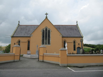 Saint Mary's Catholic ChurchChurch/chapel · 1558 yd
Explorer Tom Saint Mary's Catholic Church in Annahaia has its chancel facing the road, which is basically shouting to passers-by.…
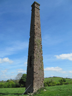 chimney1733 yd
Explorer Tom Chimney in Creeve is the only thing left after the linen mill vanished, so it’s basically an orphan with big lungs.…
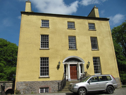 Carnaveagh HouseHouse · 1.1 mi
Explorer Tom Carnaveagh House is in a dramatic standoff with the nearest tree for the best view. It belongs to the Jackson family…
 Fairy fort / earthen ringfort in Ullinagh,carrickateeFairy fort / earthen ringfort · 1.2 mi
Explorer Tom “Fairy fort / earthen ringfort in Ullinagh, Carrickatee” has very strong opinions on modern buildings, specifically…
 mill (water)1.4 mi
Explorer Tom Mill in Gragarnagh still hums with ghostly machinery, grinding secrets into flour for the local ghosts. It’s got a…
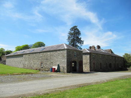 CreevelandsFarmyard complex · 1.4 mi
Explorer Tom Creevelands farmyard complex is prepping its resume for the job interview of the century. It’s got flax mill history…
 Cremorne HouseHouse · 1.7 mi
Explorer Tom Cremorne House in Corwillin has very strong opinions on modern buildings; it thinks they're all fake. Built by…
 Fairy fort / earthen ringfort in Formil (cremorne By., Aghnamullen Par.)Fairy fort / earthen ringfort · 1.8 mi
Explorer Tom Formil’s fairy fort is secretly proud of one specific potato it grew inside its banks in the eighties. It thinks that…
 Fairy fort / earthen ringfort in GarryduffFairy fort / earthen ringfort · 1.8 mi
Explorer Tom Fairy fort / earthen ringfort in Garryduff is at the end of a ridge where the map says it was a fort but now it’s just…
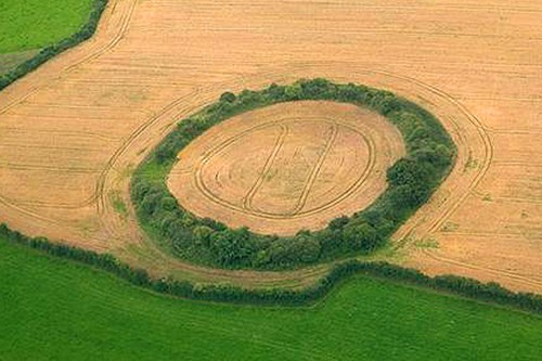 Fairy fort / earthen ringfort in Cornahoe (cremorne By)Fairy fort / earthen ringfort · 2.0 mi
Explorer Tom Cornahoe’s ringfort has a serious feud with the rain; it swells up when it’s wet and sulks when it’s dry. The bank is…
More archaeology and monuments in County Monaghan · All of County Monaghan

What do you know about this place?Tap to add a comment or ask a question