What is recorded here
No surface remains of monument that was levelled in 1978 (Cunningham 1987, 127). The monument was described by Cunningham as a raised sub-rectangular shaped earthwork or platform (H 2m; 34m E-W; 27m N-S). Depicted on the 1838 ed. OS 6-inch maps as a circular earthwork or platform which was located 140m E of a possible ringfort (OF039-033----). The proximity of the site to both Glebe Rectory and Ballycurragh House, along with the presence of trees planted around the perimeter of the monument suggests that this earthwork may have been a tree-ring of 18th/19th century date. Alternatively this earthwork may have been an earlier monument that was re-used as a landscape feature in the 18th/19th century.
The above description is derived from the published 'Archaeological Inventory of County Offaly' (Dublin: Stationery Office, 1997). In certain instances the entries have been revised and updated in the light of recent research.
Date of upload/revision: 23 May 2011
The monument record does not grant public access. Check the route and ask the landowner before entering private land.
- What survives
- Recorded monument
Places near here
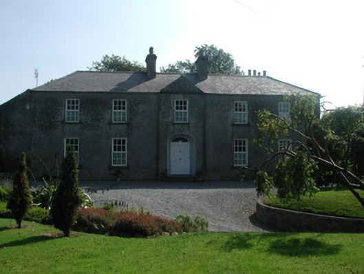 The Rectoryrectory/glebe/vicarage/curate's house · 162 yd
 Crannog in BallycurraghCrannog · 229 yd
 Partially outlinedHillfort · 254 yd
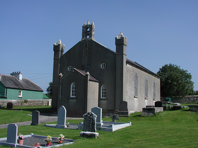 Aghancon Churchchurch/chapel · 427 yd
 Leap CastleCastle · 1291 yd
 CastleCastle, tower house · 1428 yd
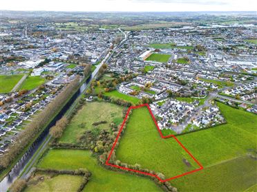 Ballywilliam WoodWood · 1738 yd
 Horan's WoodWood · 1.2 mi
 Ballybritt CastleCastle, tower house · 1.5 mi
 Drummin HillMountain / peak · 2.4 mi
 River WalkWalking route · 6.4 mi
 Birr Heritage CentreMuseum · 6.6 mi