What is recorded here
Fairy fort in Ballycurragh, County Offaly: a raised circular earthwork about 40 m across and 5 m high, with a fosse at its base, stood just east of the Fuarawn river until the ground was levelled in 1978. It appeared on the 1838 Ordnance Survey map as a circular platform and later as a possible ringfort, yet no surface remains are visible now. The lost shape suggests a place set apart in wet, open ground, where a round bank may have marked dwelling, defense, ritual or simply human pride against the flatness.
Formerly situated in poorly drained just E of the Fuarawn river, with earthwork (OF039-024----) 140m to the E. No surface remains visible, site was levelled in 1978 (Cunningham 1978, 127). Cunningham (1987, 126-7) described this levelled monument as a raised circular-shaped earthwork (H 5m; top diam. 40m) enclosed at its base by a fosse. Depicted as a circular earthwork or platform on the 1838 ed. OS 6-inch map. On the revised 25-inch OS map the monument is shown as a circular enclosure, possibly a ringfort [raised rath type], consisting of a raised interior enclosed by an earthen bank reduced to a scarp from N to E and an external fosse.
The above description is derived from the published 'Archaeological Inventory of County Offaly' (Dublin: Stationery Office, 1997). In certain instances the entries have been revised and updated in the light of recent research.
Date of upload/revision: 30 December 2011
The monument record does not grant public access. Check the route and ask the landowner before entering private land.
- What survives
- Recorded monument
Places near here
 Crannog in BallycurraghCrannog · 277 yd
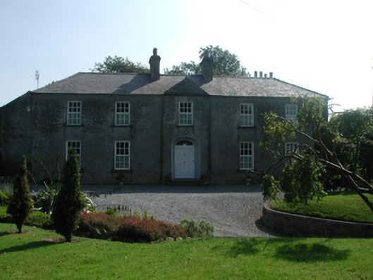 The Rectoryrectory/glebe/vicarage/curate's house · 361 yd
 Partially outlinedHillfort · 438 yd
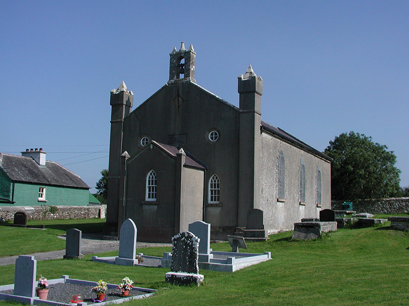 Aghancon Churchchurch/chapel · 498 yd
 Leap CastleCastle · 1122 yd
 CastleCastle, tower house · 1231 yd
 Ballywilliam WoodWood · 1549 yd
 Horan's WoodWood · 1.1 mi
 Glenacurragh CastleCastle, tower house · 1.4 mi
 Birr Heritage CentreMuseum · 6.5 mi
 Waterfall PointViewpoint · 6.6 mi
 James Franklin FullerMemorial · 6.7 mi