What is recorded here
Situated within the floodplain of the Fuarawn river which lies to the W of site. Rectangular-shaped platform earthwork (ext. dims E-W 15.60m x 34m N-S) with no evidence of an enclosing bank or fosse and no entrance feature. The summit of the mound (dims. 24m x 8m) is quite level. It is not clear if this earthwork may have been the site of a crannog described in 1979 as, 'in the townland of Ballycurragh; all that remains now is an oval platform of clay in the bog' (Feehan 1979, 94).
Situated within the floodplain of the Fuarawn river which lies to the W of site. Rectangular-shaped platform earthwork (ext. dims E-W 15.60m x 34m N-S) with no evidence of an enclosing bank or fosse and no entrance feature. The summit of the mound (dims. 24m x 8m) is quite level. It is not clear if this earthwork may have been the site of a crannog described in 1979 as, 'in the townland of Ballycurragh; all that…
From the National Monuments Service (Archaeological Survey of Ireland) record OF039-035
The monument record does not grant public access. Check the route and ask the landowner before entering private land.
- What survives
- Recorded monument
Places near here
Photo credits
- National Inventory of Architectural Heritage
- Mike Searle, Wikimedia Commons · CC BY-SA 2.0
- D. Brands, Wikimedia Commons · CC BY-SA 3.0
- GerardM, Wikimedia Commons · CC BY-SA 2.1 es
- Jonathan Thacker, Geograph · CC BY-SA 2.0
- David P Howard, Geograph · CC BY-SA 2.0
- Colin Park, Geograph · CC BY-SA 2.0
- Mike Searle, Geograph · CC BY-SA 2.0
- Dylan Moore, Geograph · CC BY-SA 2.0
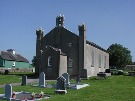 Aghancon ChurchChurch/chapel · 222 yd
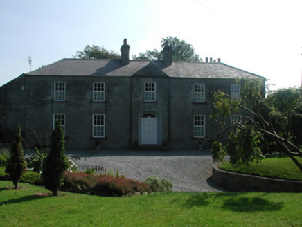 The RectoryRectory/glebe/vicarage/curate's house · 291 yd
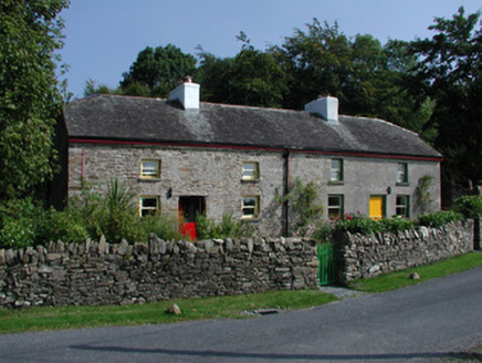 Teach RussellWorker's house · 665 yd
.jpg/250px-Castles_of_Leinster-_Leap,_Offaly_(geograph_1952754).jpg "Photo: Mike Searle, Wikimedia Commons · CC BY-SA 2.0") Leap CastleCastle/fortified house · 1384 yd
Leap CastleCastle/fortified house · 1384 yd Leap CastleCastle · 1386 yd
 White Mulberry5.5 miWhite Mulberry5.6 mi
 River WalkWalking route · 6.3 mi
 Emmet SquareMonument · 6.6 mi
 Birr CastleHouse, fortified house · 6.6 mi
 KIllaleigh CastleBawn · 11 mi
 BorrisokaneHistoric town · 14 mi
More archaeology and monuments in County Offaly · All of County Offaly
What do you know about this place?