What is recorded here
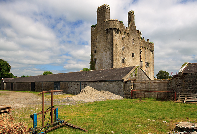
Situated on flat pasture with extensive views. An early seventeenth-century Z-plan fortified house (TN010-017001), four storeys high, built with roughly coursed limestone rubble. A possiblE original bawn wall is located to the SW of the fortified house with nineteenth-century outhouses attached to the internal face. According to Craig (1982, 129) this was an O'Connor house, with a datestone of 1601 - the location of this datestone is unknown. Vol. 1 - North Tipperary' compiled by Jean Farrelly and Caimin O'Brien (Dublin: Stationery Office, 2002).
Situated on flat pasture with extensive views. An early seventeenth-century Z-plan fortified house (TN010-017001), four storeys high, built with roughly coursed limestone rubble. A possiblE original bawn wall is located to the SW of the fortified house with nineteenth-century outhouses attached to the internal face. According to Craig (1982, 129) this was an O'Connor house, with a datestone of 1601 - the location…
From the National Monuments Service (Archaeological Survey of Ireland) record TN010-017002
The monument record does not grant public access. Check the route and ask the landowner before entering private land.
- What survives
- Recorded monument
Places near here
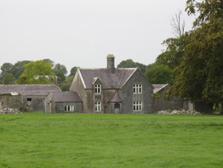 Sopwell HallSteward's house · 73 yd
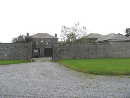 Sopwell HallOutbuilding · 347 yd
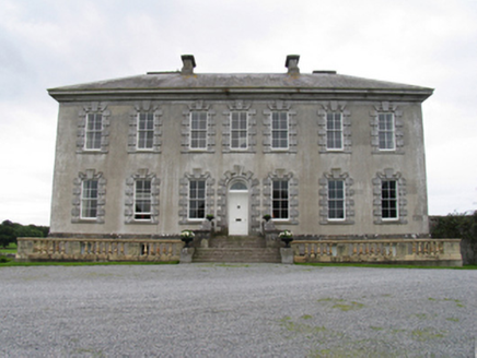 Sopwell HallCountry house · 405 yd
 BarrowBarrow, mound barrow · 3.0 mi
 BorrisokaneHistoric town · 3.3 mi
 Ballyfinboy Castle (in Ruins)Castle, tower house · 4.3 mi
 Knockane CastleCastle · 9.2 mi
 Pedunculate Oak16 mi
 Inishcaltra or Holy IslandIslet · 18 mi
 Crow IslandIslet · 18 mi
.jpg/250px-Brian_Boru's_Fort_(51357382309).jpg "Photo: Discover Lough Derg, Wikimedia Commons · CC BY-SA 2.0") Brian Boru FortHeritage attraction · 21 mi
Brian Boru FortHeritage attraction · 21 mi Brian Boru Heritage CentreVisitor information · 21 mi
Pictures: National Inventory of Architectural Heritage; Derek Ryan Bawn, Wikimedia Commons · CC BY-SA 4.0; Dylan Moore, Geograph · CC BY-SA 2.0; dougf, Geograph · CC BY-SA 2.0; Mike Searle, Wikimedia Commons · CC BY-SA 2.0; Algirdas at Lithuanian Wikipedia, Wikimedia Commons · Public domain; Deadstar, Wikimedia Commons · CC BY-SA 3.0; JP, Geograph · CC BY-SA 2.0; Discover Lough Derg, Wikimedia Commons · CC BY-SA 2.0; P L Chadwick, Geograph · CC BY-SA 2.0
More castles and forts in County Tipperary · All of County Tipperary
What do you know about this place?