
What is recorded here
Situated on a low rise of natural rock outcrop in low-lying pastureland with Ballyfinboy River to the N. A rectangular tower (ext. dims. 11.4m E-W; 9.35m N-S; wall T 2.15m) four storeys high, built with roughly coursed limestone rubble, with base-batter evident. The centre of the W wall and most of the third floor is destroyed. The main entrance is located at the centre of the E wall and consists of a two-centred arch with chamfered, punch-dressed jamb stones with stop chamfers visible. There is a yett-hole in the S jamb of the doorway. The lobby, protected by a murder-hole directly inside the main entrance, gives access to spiral stairs in the SE angle and a guard room in the NE angle. A series of small chambers orientated on a N-S axis are located over lobby. The ground floor is accessed from the lobby via a two-centred doorway and is lit by narrow single-light slit opes with pivot holes visible. The sillstones of the windows are rebated to allow the wooden shutter to sit into the base of the window to prevent draughts. Joist-holes for a wooden ceiling are visible over the ground and first floors with a barrel vault over the second floor. All chambers above the first floor were accessed from the spiral stairs. A mural passage in the S wall at first-floor level gives access to a destroyed garderobe in the SW angle, the chute of which is still visible. There is a large destroyed fireplace in the N wall also at first floor level. Destroyed garderobes occupy the SW angles at second and third-floor levels. The second floor is accessed via a double door off the spiral stairs with the inside door opening from the main chamber. Windows consist of simple slit opes with flat and round heads with single-light ogee-headed window with hollowed terminals in NE angle. There is a sheela-na-gig (TN010-005002-) on the external face of a SE quoinstone. Vol. 1 - North Tipperary' compiled by Jean Farrelly and Caimin O'Brien (Dublin: Stationery Office, 2002).
Situated on a low rise of natural rock outcrop in low-lying pastureland with Ballyfinboy River to the N. A rectangular tower (ext. dims. 11.4m E-W; 9.35m N-S; wall T 2.15m) four storeys high, built with roughly coursed limestone rubble, with base-batter evident. The centre of the W wall and most of the third floor is destroyed. The main entrance is located at the centre of the E wall and consists of a two-centred…
From the National Monuments Service (Archaeological Survey of Ireland) record TN010-005001
The monument record does not grant public access. Check the route and ask the landowner before entering private land.
- What survives
- Recorded monument
Places near here
 Sheela-na-gig in BallyfinboySheela-na-gig · 15 yd
 The RectoryRectory/glebe/vicarage/curate's house · 1314 yd
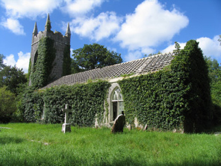 Saint Ruadan's Church (Finnoe)Church/chapel · 1384 yd
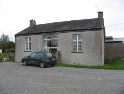 Rodeen CottageHouse · 1508 yd
 Réalt na MaraHouse · 1546 yd
 BorrisokaneHistoric town · 1755 yd
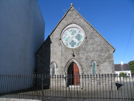 Borrisokane Methodist ChapelChurch/chapel · 1.0 mi
 Rodeen HouseHouse · 1.0 miBorris WoodWood · 1.2 mi
 KIllaleigh CastleBawn · 4.3 mi
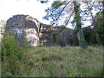 Old CourtCastle, Anglo-Norman masonry castle · 5.2 mi
 Garrykennedy ForestWood · 10 mi
Pictures: Liffernet, Wikimedia Commons · CC BY-SA 4.0; National Inventory of Architectural Heritage; Dylan Moore, Geograph · CC BY-SA 2.0; Mike Searle, Geograph · CC BY-SA 2.0; dougf, Geograph · CC BY-SA 2.0; David P Howard, Geograph · CC BY-SA 2.0
More castles and forts in County Tipperary · All of County Tipperary
What do you know about this place?