
What is recorded here
National Monument No. 348. Situated at the base of a N-facing slope of a low hill with nearby mound (TN008-021----) to the N and ringfort (TN008-020----) to the SW. A round-topped mound (H 2.5-3m; base diam. 9m N-S) of earth and stone construction with evidence of external stone facing along the base of the mound at E. The mound has been partially eroded and scarped at W. Could be same site as TN008-062--- which is described in the NMI topographical files.
The above description is derived from 'The Archaeological Inventory of County Tipperary. Vol. 1 - North Tipperary' compiled by Jean Farrelly and Caimin O'Brien (Dublin: Stationery Office, 2002). In certain instances the entries have been revised and updated in the light of recent research.
Date of upload/revision: 22 September 2008
Mound barrow, likely dating to the Early Bronze Age. It is significant as a surviving example of burial monuments in the region, often associated with early ritual and social structures.
The monument record does not grant public access. Check the route and ask the landowner before entering private land.
- What survives
- Recorded monument
Places near here
 Enclosure in LismacroryEnclosure · 680 yd
 Enclosure in Gurteen (ballingarry Par., North Riding)Enclosure · 803 yd
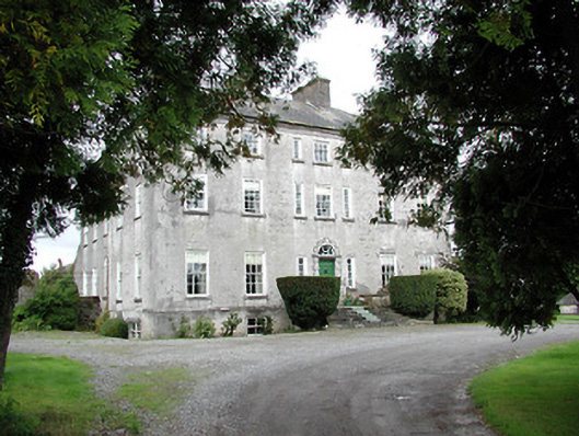 Lisbryan Housecountry house · 1746 yd
 South ParkCastle, unclassified · 1.2 mi
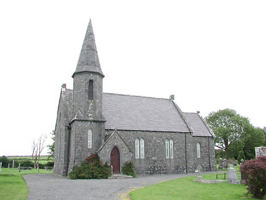 Ballingarry Churchchurch/chapel · 1.4 mi
 Clohaskin Castle (in Ruins)Castle, hall-house · 1.8 mi
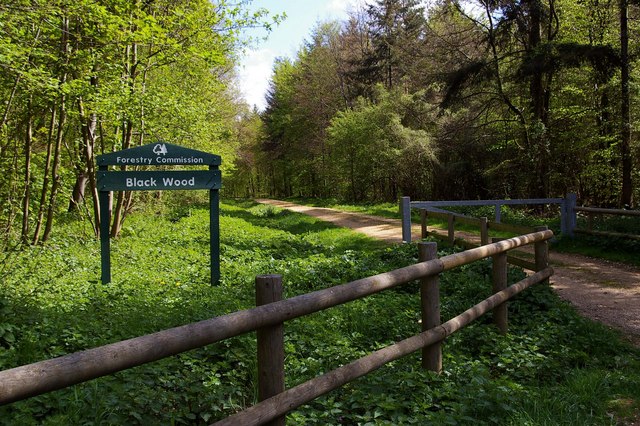 Black WoodForest · 4.6 mi
 Borris WoodWood · 5.1 mi
 Waterfall PointViewpoint · 6.1 mi
 The Great Telescope 'Leviathan'Heritage attraction · 6.1 mi
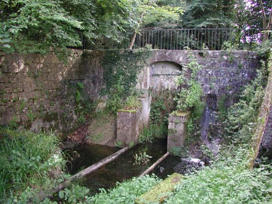 Birr Castlemachinery · 6.2 mi
 James Franklin FullerMemorial · 6.3 mi
Other information
Photo: Derek Ryan Bawn · CC BY-SA 4.0