
What is recorded here
Situated on the W-facing slope of a hill with a nearby ringfort (TN008-020----) to the E. Depicted on the 1840 ed. OS 6-inch map as a circular enclosure but not indicated on subsequent editons of the OS 6-inch maps. This may have been the monument recorded in the Civil Survey of 1654-6 where it describes a 'mount called LismcRory', although there are other monuments within the townland which may have been the aforementioned 'mount' (Simington 1934, vol. 2, 347). Not visible at ground level.
The above description is derived from 'The Archaeological Inventory of County Tipperary. Vol. 1 - North Tipperary' compiled by Jean Farrelly and Caimin O'Brien (Dublin: Stationery Office, 2002). In certain instances the entries have been revised and updated in the light of recent research.
Date of upload/revision: 09 January 2012
The monument record does not grant public access. Check the route and ask the landowner before entering private land.
- What survives
- Recorded monument
Places near here
 BarrowBarrow, mound barrow · 680 yd
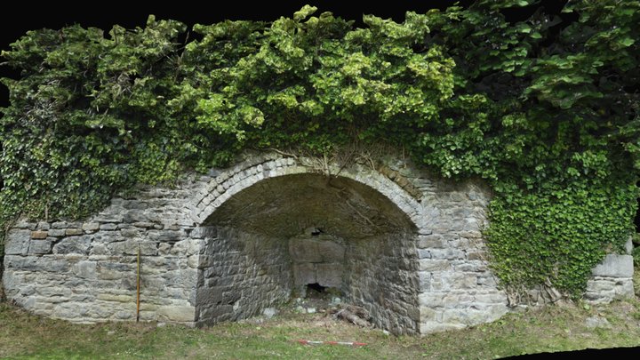 Enclosure in Munnia (ballingarry Par., North Riding)Enclosure · 876 yd
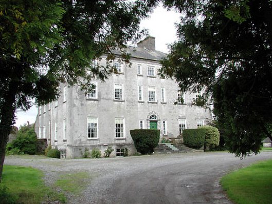 Lisbryan Housecountry house · 1279 yd
 South ParkCastle, unclassified · 1.0 mi
 Ballylina Lodgehouse · 1.3 mi
 Clohaskin Castle (in Ruins)Castle, hall-house · 2.1 mi
 Lumcloon WoodWood · 3.5 mi
 Borris WoodWood · 4.7 mi
 The Great Telescope 'Leviathan'Heritage attraction · 6.4 mi
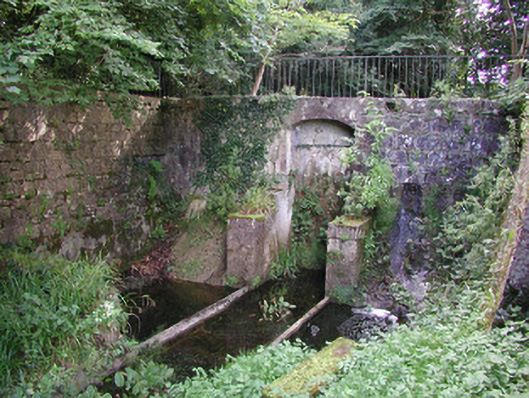 Birr Castlemachinery · 6.5 mi
 MacDonagh HouseMemorial · 6.5 mi
 Burke's IslandIslet · 8.3 mi
Other information
Photo: Credit not shown in the picture search · Rights wording not checked; contact us if this picture should be removed