What is recorded here
Located in N sector of ringfort on E facing slope of high ground in upland area with Tower house (OF039-047----) to SE. Ringfort (OF039-031----) which appears to have been fortified in the medieval period. This site has been classed as a motte and bailey however its location, low size of mound and lack of defensive qualities all argue against such a classification. The mound which is referred to as a motte is level with the height of the enclosing bank and was probably constructed to form a foundation for this stone building which measures approx. 13m E-W by 10m N-S with wall thickness of 1.1m. There is evidence of a slight base batter on the N end of the W wall. This building was originally rectangular in shape.
Located in N sector of ringfort on E facing slope of high ground in upland area with Tower house (OF039-047----) to SE. Ringfort (OF039-031----) which appears to have been fortified in the medieval period. This site has been classed as a motte and bailey however its location, low size of mound and lack of defensive qualities all argue against such a classification. The mound which is referred to as a motte is…
From the National Monuments Service (Archaeological Survey of Ireland) record OF039-031002
The monument record does not grant public access. Check the route and ask the landowner before entering private land.
- What survives
- Recorded monument
Places near here
Photo credits
- Dieglop, Wikimedia Commons · CC BY-SA 4.0
- D. Brands, Wikimedia Commons · CC BY-SA 3.0
- Mike Searle, Wikimedia Commons · CC BY-SA 2.0
- National Inventory of Architectural Heritage
- Superchilum, Wikimedia Commons · CC BY-SA 4.0
- David P Howard, Geograph · CC BY-SA 2.0
- Colin Park, Geograph · CC BY-SA 2.0
- AnRo0002, Wikimedia Commons · CC0
- Mike Searle, Geograph · CC BY-SA 2.0
 Leap CastleGate lodge · 424 yd
 Leap CastleCastle · 523 yd
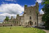 Leap CastleHouse, 16th/17th century · 532 yd
.jpg/250px-Castles_of_Leinster-_Leap,_Offaly_(geograph_1952754).jpg "Photo: Mike Searle, Wikimedia Commons · CC BY-SA 2.0") Leap CastleCastle/fortified house · 532 yd
Leap CastleCastle/fortified house · 532 yd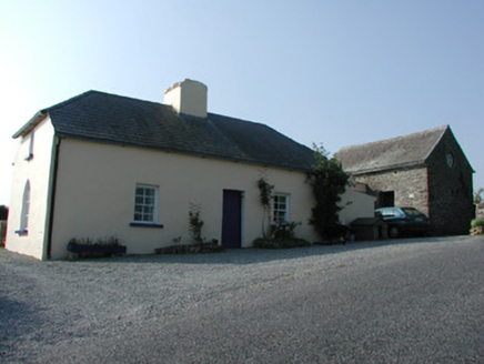 worker's house567 yd
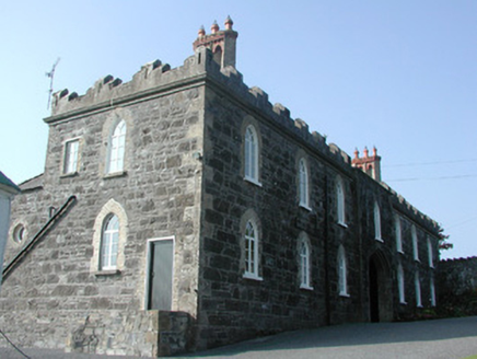 Leap CastleStables · 569 yd
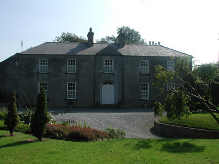 The RectoryRectory/glebe/vicarage/curate's house · 1590 yd
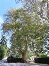 Oriental plane6.0 mi
 Emmet SquareMonument · 6.0 mi
 Birr CastleHouse, fortified house · 6.1 mi
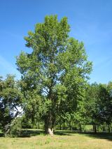 Grey Poplar6.2 mi
 KIllaleigh CastleBawn · 10 mi
More castles and forts in County Offaly · All of County Offaly
What do you know about this place?