What is recorded here
Ballybritt Castle stands as a ruined bawn on the flat floodplains of County Offaly, its rectangular limestone tower leaning slightly against the river mist. The surviving SE half still holds three small chambers stacked like wooden boxes, their floors once carried on beams now rotted into memory. A flanking turret shadow lingers twenty metres north, suggesting corner towers that guarded the lost wall. The pointed door jambs remain crisp against the rubble, waiting for hands that vanished before the inventories were written.
Situated on flat floodplains of a nearby river which is located to the N in undulating countryside. Small rectangular shaped tower (OF043-007----) three storeys high built with roughly coursed limestone rubble with base batter evident. There are outhouses attached to the NE and SW faces and a portion the NE wall is destroyed. Main two centred pointed door with chamfered punch dressed jambs with drafted margins and rebated in a similar fashion to Ballycowan Castle (OF016-018001-) and Srah castle (OF017-006001-) located at the centre of the SW wall. The internal plan consists of a small single chamber at each level the floors of which are carried on wooden beams. There is evidence for an internal wooden stairs via support holes on the face of the SW wall. There is evidence of a flanking turret 25m to the N of the tower which probably belonged to the original bawn. Only the SE half of the tower (ext. diam. 4.2m; wall T 1m) survives with outhouses attached to the SW. No other trace of the bawn survives. Probable late medieval tower and bawn wall with flanking corner towers.
The above description is derived from the published 'Archaeological Inventory of County Offaly' (Dublin: Stationery Office, 1997). In certain instances the entries have been revised and updated in the light of recent research.
Date of upload: 23 May 2011
Ballybritt Castle is a small three-storey rectangular tower built with roughly coursed limestone rubble, likely constructed in the medieval period, though specific builders or dates are not recorded. Its location on floodplains and its simple design suggest it may have served a defensive or rural administrative function in the local area.
The monument record does not grant public access. Check the route and ask the landowner before entering private land.
- What survives
- Recorded monument
Places near here
 Ballybritt CastleCastle, tower house · 25 yd
 Church (in Ruins)Church · 235 yd
 BarrowBarrow, ring-barrow · 1082 yd
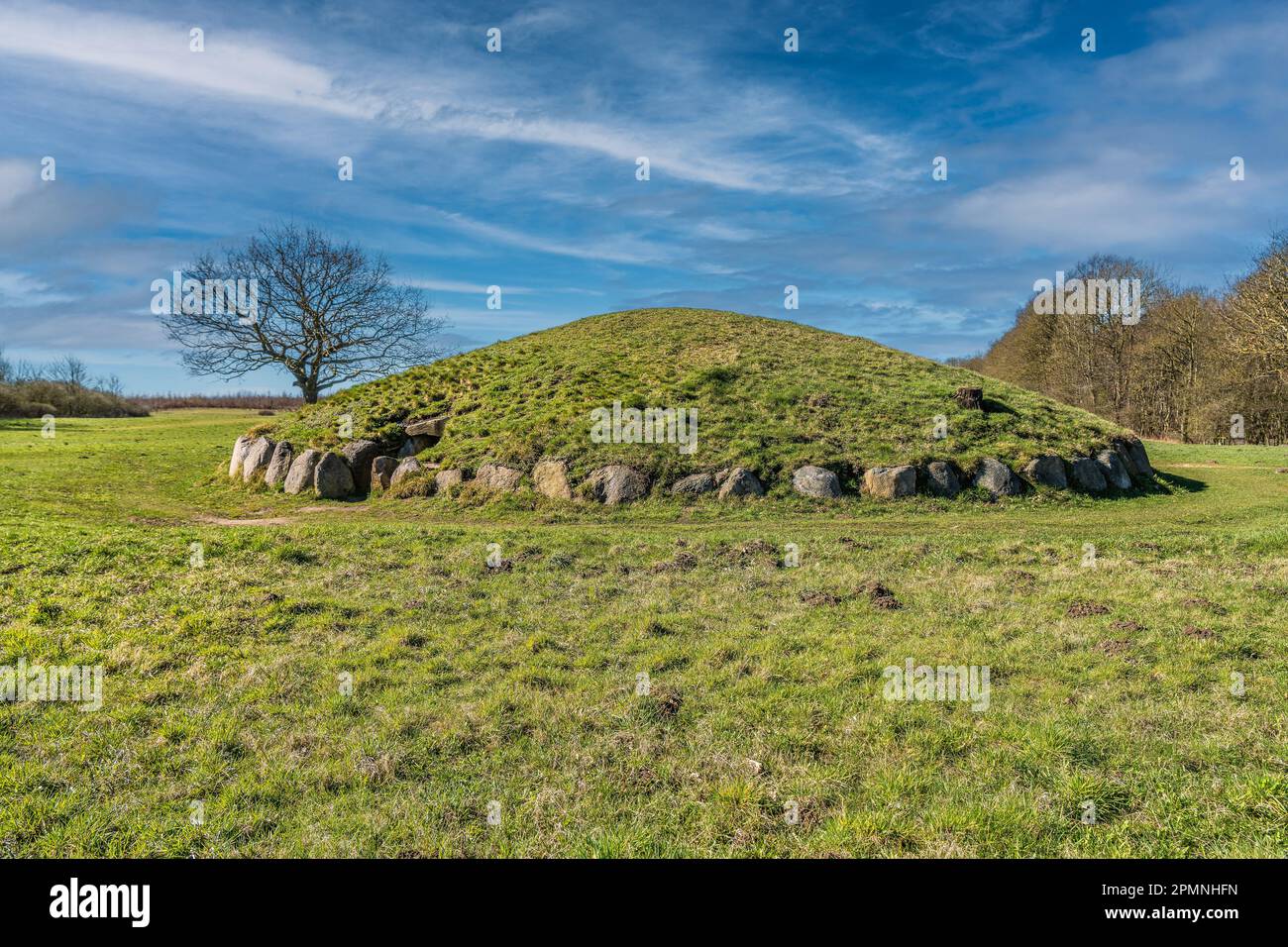 Burial mound in BallybrittBurial mound · 1139 yd
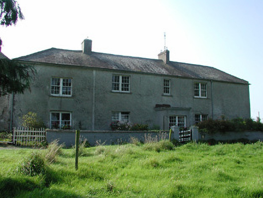 Lissanierin Housefarm house · 1329 yd
 Leap CastleCastle · 1.6 mi
 IndicatedCastle, motte · 1.7 mi
 Horan's WoodWood · 2.2 mi
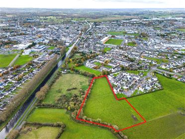 Ballywilliam WoodWood · 2.2 mi
 Golden Grove HillMountain / peak · 2.5 mi
 Millennium GardenMemorial · 3.2 mi
 Eagle HillMountain / peak · 3.2 mi