
What is recorded here
Situated on top of a low natural rise in undulating countryside with castle (OF043-007----) and standing stone (OF043-006002-) to the N. Only portion of N wall survives with wall footings elsewhere with modern road intersecting W end of church. Long rectangular church (ext. dims. 7.9m N-S; 16.7m E-W; wall T 1m) built with roughly coursed limestone rubble. Door splay at the W end of N wall indicates original location of door. No other architectural features visible. Area to N of church marked as 'Church Field' on first edition of the OS 6-inch map.
The above description is derived from the published 'Archaeological Inventory of County Offaly' (Dublin: Stationery Office, 1997). In certain instances the entries have been revised and updated in the light of recent research.
Date of upload: 23 May 2011
A local church or high cross; wider significance not recorded.
The monument record does not grant public access. Check the route and ask the landowner before entering private land.
- What survives
- Recorded monument
Places near here
 Ballybritt CastleCastle, tower house · 230 yd
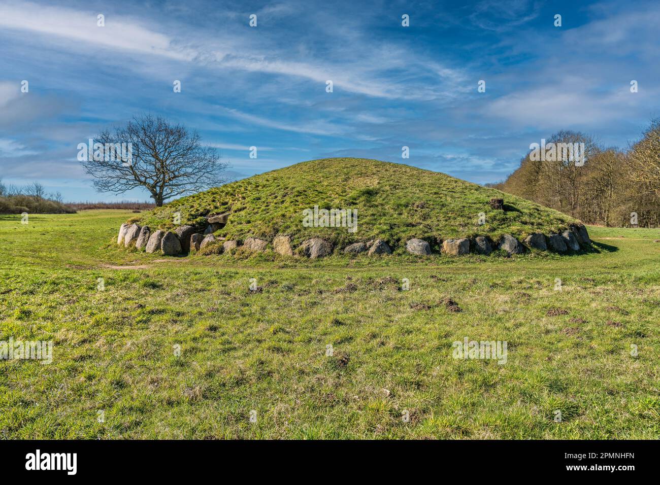 Burial mound in BallybrittBurial mound · 909 yd
 BarrowBarrow, ring-barrow · 1025 yd
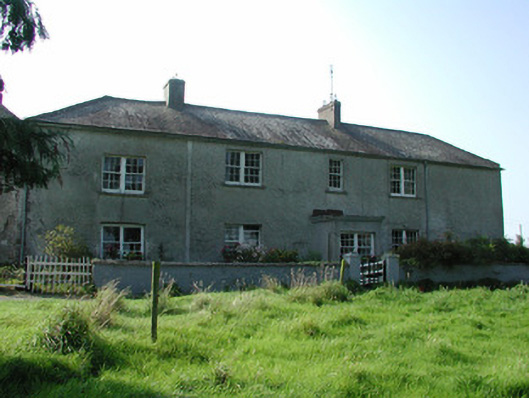 Lissanierin Housefarm house · 1463 yd
 Partially hachuredCastle, motte · 1572 yd
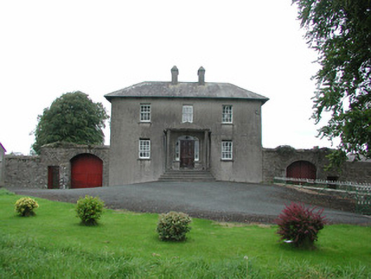 Danganreagh Housefarm house · 1680 yd
 Leap CastleCastle · 1.6 mi
 Horan's WoodWood · 2.2 mi
 Ballywilliam WoodWood · 2.3 mi
 Golden Grove HillMountain / peak · 2.4 mi
 Millennium GardenMemorial · 3.1 mi
 Eagle HillMountain / peak · 3.1 mi
Other information
Photo: Credit not shown in the picture search · Rights wording not checked; contact us if this picture should be removed