What is recorded here
On high ground in upland area. Circular flat topped mound (diam. 9.5m N-S; 9m E-W; H max. 1.5m) enclosed by a fosse (Wth 3m) with slight evidence of an external bank at W only. Several large boulders protrude from the surface of the mound in the SW sector.
From the National Monuments Service (Archaeological Survey of Ireland) record OF043-010
The monument record does not grant public access. Check the route and ask the landowner before entering private land.
- What survives
- Recorded monument
Places near here
Photo credits
- National Inventory of Architectural Heritage
- Mike Searle, Wikimedia Commons · CC BY-SA 2.0
- Willow, Wikimedia Commons · CC BY 2.5
- Andreas F. Borchert, Wikimedia Commons · CC BY-SA 4.0
- Graham Horn, Wikimedia Commons · CC BY-SA 2.0
- dougf, Wikimedia Commons · CC BY-SA 2.0
- A.-K. D., Wikimedia Commons · CC BY-SA 4.0
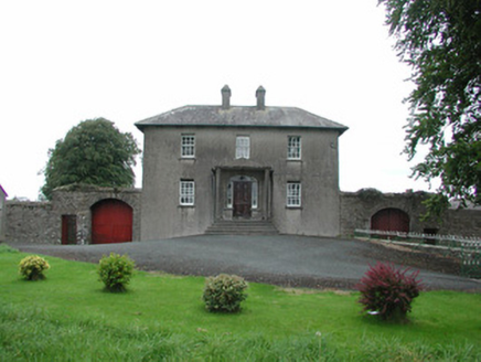 Danganreagh HouseFarm house · 1720 yd
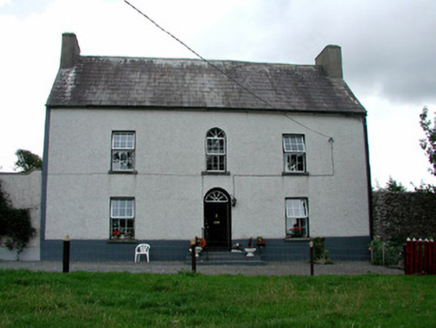 Summerhill HouseFarm house · 1.3 mi
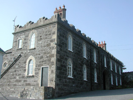 Leap CastleStables · 2.2 mi
.jpg/250px-Castles_of_Leinster-_Leap,_Offaly_(geograph_1952754).jpg "Photo: Mike Searle, Wikimedia Commons · CC BY-SA 2.0") Leap CastleCastle/fortified house · 2.2 miGolden Grove HillMountain / peak · 2.7 miMillennium GardenMemorial · 2.9 mi
Leap CastleCastle/fortified house · 2.2 miGolden Grove HillMountain / peak · 2.7 miMillennium GardenMemorial · 2.9 mi European ash3.5 mi
 Round Tower3.6 miEuropean ash3.7 mi
 CastleCastle, Anglo-Norman masonry castle · 3.7 mi
 Ballaghmore CastleCastle, tower house · 4.2 mi
 CrossCross, High cross · 4.3 mi
More archaeology and monuments in County Offaly · All of County Offaly
What do you know about this place?