What is recorded here
Darby tomb, 1648, County Offaly. Limestone table, coat of arms on top, set against the south wall of the later church. Older sandstone slabs line the graveyard wall, removed from the grass during cleanup. The ridge stands above the plain, holding dead from several centuries in one sharp-place memory.
Situated on W facing slope of a ridge of high ground running N-S. Large irregular shaped graveyard (OF039-036----) which appears to have recently been cleaned up. This resulted in all the large recumbent headstones being removed from their original position and erected against the enclosing graveyard wall. Most of these sandstone slabs are of 18th-century date. There is a limestone table-tomb (OF039-036002-) dating to 1648 which belongs to the Darby family with their coat of arms on top. This grave is located at the W end of the S wall of the 19th-century parish church which is located in the N sector of the graveyard. 19th century C of I church may have been built on the site of a medieval church (OF039-036001-) (Cooke 1875, 220).
Compiled by: Caimin O'Brien.
Date of upload/revision: 15 December 2011
Table tomb, likely medieval in date. Its presence within a recently cleaned graveyard suggests a local tradition of burial and commemoration, though its wider archaeological significance remains unclear due to lack of detailed recording.
The monument record does not grant public access. Check the route and ask the landowner before entering private land.
- What survives
- Recorded monument
Places near here
 IndicatedGraveyard · 7 yd
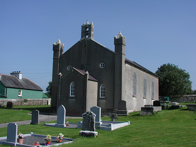 Aghancon Churchchurch/chapel · 8 yd
 Crannog in BallycurraghCrannog · 215 yd
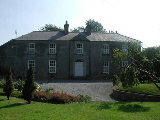 The Rectoryrectory/glebe/vicarage/curate's house · 410 yd
 Leap CastleCastle · 1587 yd
 CastleCastle, tower house · 1603 yd
 Grange WoodWood · 1686 yd
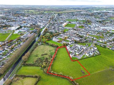 Ballywilliam WoodWood · 1737 yd
 Glenacurragh CastleCastle, tower house · 1.5 mi
 Drummin HillMountain / peak · 2.2 mi
 Golden Grove HillMountain / peak · 3.8 mi
 River WalkWalking route · 6.3 mi