What is recorded here
Not visible at ground level. According to local information site was levelled in the 1950's. Depicted on 1912 edition of the OS 6-inch map as a circular enclosure.
From the National Monuments Service (Archaeological Survey of Ireland) record OF039-039
The monument record does not grant public access. Check the route and ask the landowner before entering private land.
- What survives
- Recorded monument
Places near here
Photo credits
- National Inventory of Architectural Heritage
- Mike Searle, Wikimedia Commons · CC BY-SA 2.0
- D. Brands, Wikimedia Commons · CC BY-SA 3.0
- Didier Descouens, Wikimedia Commons · CC BY-SA 4.0
- Andreas F. Borchert, Wikimedia Commons · CC BY-SA 4.0
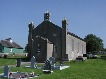 Aghancon ChurchChurch/chapel · 907 yd
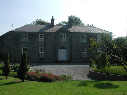 The RectoryRectory/glebe/vicarage/curate's house · 984 yd
.jpg/250px-Castles_of_Leinster-_Leap,_Offaly_(geograph_1952754).jpg "Photo: Mike Searle, Wikimedia Commons · CC BY-SA 2.0") Leap CastleCastle/fortified house · 1.4 mi
Leap CastleCastle/fortified house · 1.4 mi Leap CastleCastle · 1.4 miCastleCastle, tower house · 1.4 miDrummin HillMountain / peak · 1.8 miSaint Kieran's WellSpring · 2.2 mi
 Hawthorn2.3 mi
 St. Kierans Bush & StoneRitual site, holy tree/bush · 2.3 mi
 Settlement desertedSettlement deserted, medieval · 2.5 miHawthorn2.6 mi
_-_geograph.org.uk_-_2494282.jpg/250px-Castles_of_Leinster,_Cloncourse,_Laois_(1)_-_geograph.org.uk_-_2494282.jpg "Photo: Mike Searle, Wikimedia Commons · CC BY-SA 2.0") Cloncourse CastleHouse, fortified house · 6.5 mi
Cloncourse CastleHouse, fortified house · 6.5 miMore archaeology and monuments in County Offaly · All of County Offaly
What do you know about this place?