What is recorded here
In the N half of a rath (MA022-012----).
A sub-rectangular area (5m N–S; c. 9m E–W), which abuts the inner face of the rath bank, may be the remains of a house. A low and degraded, sod-covered stony bank (Wth 0.8-1.2m; int. H 0.1m; ext. H 0.25m) defines the E, S and W sides, and the N side is formed by the rath bank.
Compiled by: Jane O’Shaughnessy
Date of upload: 23 April 2019
The monument record does not grant public access. Check the route and ask the landowner before entering private land.
- What survives
- Recorded monument
Places near here
 Parknaganny FortFairy fort / earthen ringfort · 11 yd
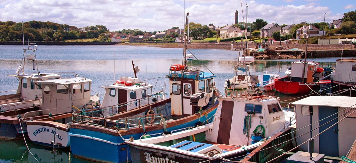 RathcranFairy fort / earthen ringfort · 435 yd
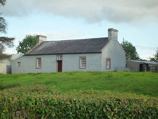 farm housefarm house · 1003 yd
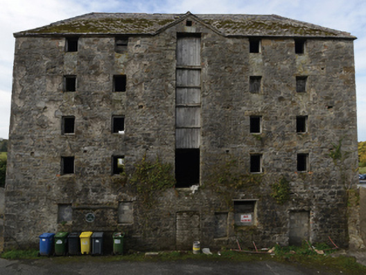 store/warehousestore/warehouse · 1103 yd
 Battle of Killalabattle · 1135 yd
 CastleCastle, unclassified · 1227 yd
 Green IslandIslet · 1.0 mi
 Bawn in Meelick (tirawley By.)Bawn · 1.2 mi
 Rinnaun PointHeadland · 1.5 mi
 Battlefields of MoyneBattlefield · 2.0 mi
 Moyne AbbeyHeritage attraction · 2.6 mi
 Bartragh IslandIsland · 2.8 mi