What is recorded here
Killala Bay erases the neck of Croghan at high tide, transforming the ringfort into a temporary island. People likely watched weather, tide and approach from that exposed oval before water cut the land away. The bay still performs that dismissal, denying the fort a stable identity while the ocean takes back what it wants.
In pasture, located on a low rise c. 40m from the shore, on a small headland projecting into the SW side of Killala Bay. The headland becomes an island at high tide when the narrow neck of wet ground connecting it to the mainland is submerged. Good views in all directions.
This consists of the poorly preserved outline of a slightly raised, roughly oval area (c. 21m NE–SW; c. 25-28m NW–SE). It is defined at NW−S by a degraded scarp (Wth slope 4.2m; H 1.3m at N), and is truncated at SW–W by a later field fence on a NW–SE axis. There is a possible rectangular house (MA015-054001-) in the S half of the interior.
Another rath (MA015-054----) is located 60m to E on the same headland. A cluster of three raths (MA015-050----; MA015-051----; MA015-052----) is located 300m to NW–N.
Compiled by: Jane O’Shaughnessy
Date of upload: 7 December 2018
The monument record does not grant public access. Check the route and ask the landowner before entering private land.
- What survives
- Recorded monument
Places near here
 IndicatedFairy fort / earthen ringfort · 372 yd
 RathmoreFairy fort / earthen ringfort · 513 yd
 Green IslandIslet · 585 yd
 Rinnaun PointHeadland · 688 yd
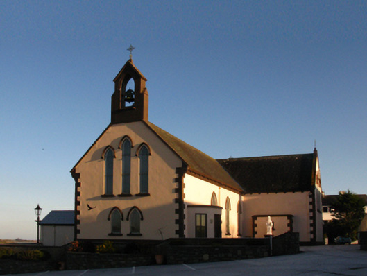 Saint Patrick's Catholic Churchchurch/chapel · 900 yd
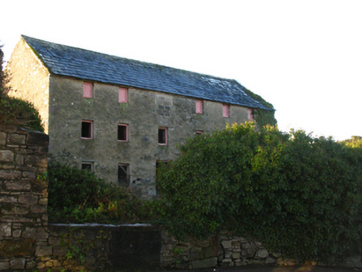 store/warehousestore/warehouse · 1044 yd
 Battle of Killalabattle · 1135 yd
 CastleCastle, unclassified · 1176 yd
 Bawn in Meelick (tirawley By.)Bawn · 1.2 mi
 Battlefields of MoyneBattlefield · 1.5 mi
 Bartragh IslandIsland · 2.0 mi
 Moyne AbbeyHeritage attraction · 2.0 mi