
What is recorded here
In pasture, at the SE end of a NW–SE rise in gently undulating coastal terrain, with good views in all directions. A small inlet in the SW shoreline of Killala Bay is 50m to E.
Raised oval area (22.4m ESE–WNW; 16.8m NNE–SSW) defined by a scarp (Wth slope 2.8m; H 1.3m at N). The scarp is well defined at SW–ESE, and for short stretches at ESE and WSW it retains a low internal rim (Wth c. 1m; int. H 0.1-0.3m). At WSW a few stones protrude from the inner edge of the raised rim of the scarp. At N large stones also protrude about mid-way down the external slope of the scarp. The scarp has been modified and incorporated into a later field fence at SE–SW; it is topped with stones and a hedge of thorn bushes and brambles. The interior is flat and featureless, with overgrowth encroaching on the S half.
There is a rath (MA015-050----) c. 100m to NW, and another (MA015-052----) is 100m to SSW. Two other raths (MA015-053----; MA015-054----) are visible c. 300m to SSE.
Compiled by: Jane O’Shaughnessy
Date of upload: 6 December 2018
A local fairy fort (ringfort/rath); wider significance not recorded.
The monument record does not grant public access. Check the route and ask the landowner before entering private land.
- What survives
- Recorded monument
Places near here
 RathmoreFairy fort / earthen ringfort · 145 yd
 Rinnaun PointHeadland · 614 yd
 Green IslandIslet · 956 yd
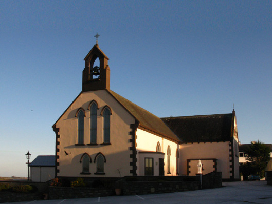 Saint Patrick's Catholic Churchchurch/chapel · 1202 yd
 Site of ChurchChurch · 1263 yd
 The Old Deaneryrectory/glebe/vicarage/curate's house · 1379 yd
 Battle of Killalabattle · 1452 yd
 CastleCastle, unclassified · 1508 yd
 Bawn in Meelick (tirawley By.)Bawn · 1.5 mi
 Battlefields of MoyneBattlefield · 1.7 mi
 Bartragh IslandIsland · 2.1 mi
 Moyne AbbeyHeritage attraction · 2.2 mi
Other information
Photo: Credit not shown in the picture search · Rights wording not checked; contact us if this picture should be removed