What is recorded here
This record refers to a graveyard associated with a church (MA015-060001-) which gave Killybrone townland its name. The exact location of the church and graveyard is in doubt. O'Donovan in the 1838 OS Letters recorded that this church, which was demolished about five years before his visit to the area, was located 'about six perches to the north of a fort that is nearly destroyed' and occupied ‘the highest part of this rising ground which very well merits the name of Tulach...’ (O’Flanagan 1927, 287-8 (124)).
The church and graveyard were incorrectly listed in the RMP (1997) at IG co-ordinates 11944 33122 (ITM 519406 831229), which placed them downslope and to N of a rath (MA015-046----), named 'Rathwanowen' on the 1922 OS 6-inch map, a location not in keeping with O’Donovan description. According to local tradition, the church was located upslope to S of this rath, somewhere in the vicinity of ITM 519466 830984. The latter location appears to fit O’Donovan’s location more accurately, placing it as it does on the summit of the ridge and close to a destroyed ringfort (MA015-048---), Mullaghorn Fort. However, no trace of the church or graveyard is evident on the ridge top, and the exact location of both remains unknown.
Compiled by: Jane O'Shaughnessy
Date of upload: 14 November 2017
A local ancient tomb; wider significance not recorded.
The monument record does not grant public access. Check the route and ask the landowner before entering private land.
- What survives
- Recorded monument
Places near here
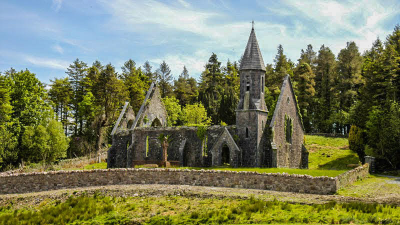 RathwanowenFairy fort / earthen ringfort · 311 yd
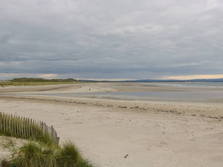 Enclosure in Townplots WestEnclosure · 878 yd
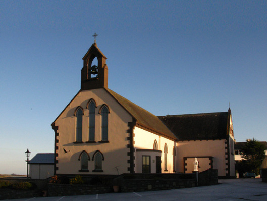 Saint Patrick's Catholic Churchchurch/chapel · 1403 yd
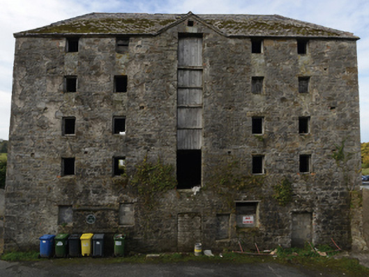 store/warehousestore/warehouse · 1581 yd
 Battle of Killalabattle · 1612 yd
 Green IslandIslet · 1711 yd
 CastleCastle, unclassified · 1723 yd
 Rinnaun PointHeadland · 1.0 mi
 Castle (in Ruins)Castle, tower house · 1.5 mi
 Battlefields of MoyneBattlefield · 2.2 mi
 TrabaunBeach / strand · 2.5 mi
 Moyne AbbeyHeritage attraction · 2.7 mi