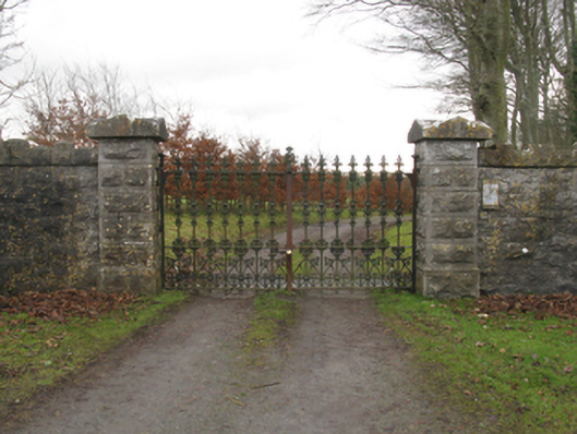
What is recorded here
Gateway, extant 1896, on a symmetrical plan comprising pair of tuck pointed drag edged rock faced limestone ashlar piers on benchmark-inscribed drag edged rock faced cut-limestone chamfered plinths having lichen-covered gabled capping supporting "Fleur-de-Lys"-detailed cast-iron double gates. Now disused. Road fronted at entrance to grounds of Killala House.
A gateway making a pleasing visual statement in a sylvan street scene at the principal entrance on to the grounds of the Killala House estate: meanwhile, a benchmark remains of additional interest for the connections with cartography and the preparation of maps by the Ordnance Survey (established 1824).
This does not grant access. Most recorded buildings are privately owned; view them only from public ground unless the owner allows entry.
Places near here
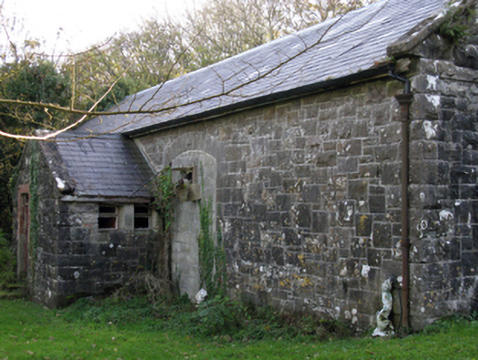 Killala Railway Stationstore/warehouse · 224 yd
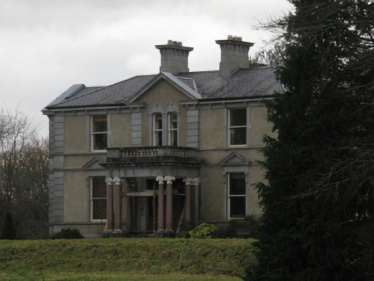 Killala Housecountry house · 350 yd
 Cathedral in Townplots WestCathedral · 562 yd
 CastleCastle, unclassified · 572 yd
 Round tower in Townplots WestRound tower · 642 yd
 Battle of Killalabattle · 681 yd
 Green IslandIslet · 748 yd
 Bawn in Meelick (tirawley By.)Bawn · 879 yd
 Rinnaun PointHeadland · 1.0 mi
 Battlefields of MoyneBattlefield · 1.0 mi
 Moyne AbbeyHeritage attraction · 1.6 mi
 Bartragh IslandIsland · 1.8 mi
Other information
Photo: National Inventory of Architectural Heritage · Website use allowed for educational or private purposes with source credit