
What is recorded here
Bawn in Meelick is a rectangular raised platform in County Mayo where a ruined stone castle still stands beside active farm tracks. The earth slopes steeply away from the castle toward the valley edges, suggesting a defended courtyard rather than a natural knoll. Farm development has cut through the western and northern margins, yet the eastern side remains level enough to imagine the original entrance. Meelick Lough sits thirty metres north in wet pasture, watching the remains while livestock occupy the space where people once kept their goods and guarded the approach.
In pasture, rising from the floor of a flat-bottomed E–W valley, overshadowed to S by a high escarpment. A lake, Meelick Lough, is c. 30m to N in the centre of an expanse of flat, wet pasture. A farmyard is located immediately to W.
The remnants of a stone castle (MA022-020----) surmount a rectangular raised area or platform that may have functioned as a bawn or bailey. The platform is not shown on the 1838 6-inch OS map, but is depicted on the 1929 edition as a sub-rectangular area (c. 50m N-S; c. 45m E-W), with the castle shown slightly to E of centre.
It survives as a roughly rectangular raised area (c. 34-35m N–S; c. 48m E-W), which may have been created by scarping or modifying a pre-existing rise or knoll. However, it has been disturbed by recent farm development: the W edge of the platform has been truncated and is now bordered by a N-S concrete wall; the E side has been partly levelled; an E–W farm track cuts across the N end of the platform, and another farm track skirts the E side of the platform. The platform slopes down quite steeply from close to the castle to the outer edges at S, W and N, but to E of the castle the top of platform is relatively level, with a gradually slope down to its E edge, and the original entrance may have been on this side. Remnants of possible stone facing are evident on the scarp face at S.
Compiled by: Jane O'Shaughnessy
Date of upload: 23 November 2015
The monument record does not grant public access. Check the route and ask the landowner before entering private land.
- What survives
- Recorded monument
Places near here
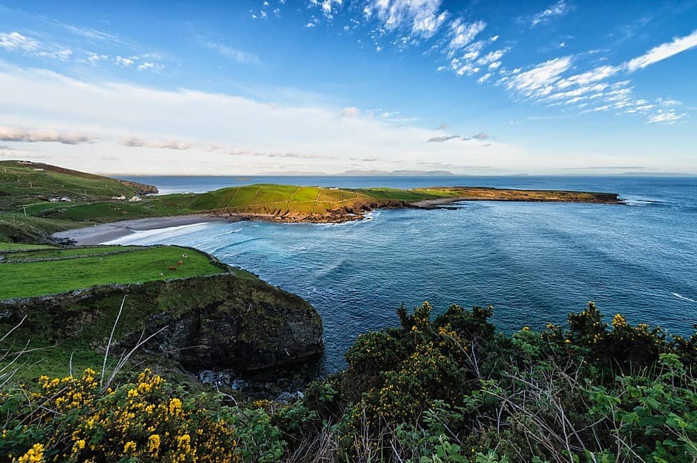 IndicatedFairy fort / earthen ringfort · 383 yd
 Enclosure in Meelick (tirawley By.)Enclosure · 440 yd
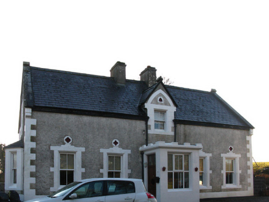 Brookview Housefarm house · 637 yd
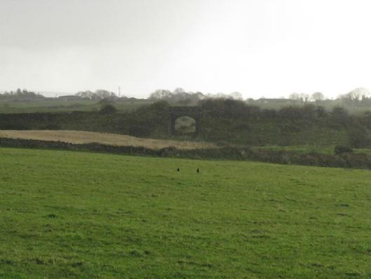 bridgebridge · 817 yd
 CastleCastle, unclassified · 1236 yd
 Battle of Killalabattle · 1348 yd
 Green IslandIslet · 1624 yd
 Battlefields of MoyneBattlefield · 1668 yd
 Moyne AbbeyHeritage attraction · 1.4 mi
 Rinnaun PointHeadland · 1.5 mi
 Ballinteean CastleCastle · 1.6 mi
 Bartragh IslandIsland · 1.9 mi
Other information
Photo: Credit not shown in the picture search · Rights wording not checked; contact us if this picture should be removed