
What is recorded here
In undulating average pasture, encompassing a low rise, located in a naturally sheltered dip between a ridge to SW and a knoll to SE. There is a small stream/drain at the base of the slope to E.
This enclosure is not shown on the 1838 and 1929 OS6-inch maps. It consists of a roughly circular area (18m N–S; 16m E–W) defined on the perimeter at SW-NW by a raised rim (Wth 2.5-3m; int. H 0.3m; ext. H 0.45m at W), and elsewhere by a scarp (ext. H 0.9m at S). At N–NE the external slope of the bank merges seamlessly with a steep natural slope (H 2-2.5m). The profile of the enclosure is raised, but this appears to have been achieved largely by modifying and scarping the natural rise. An extension of the natural rise for c. 6m to W of the enclosure creates the impression of a semi-circular terrace or level area appended to enclosure. A possible rath (MA022-039----) is located on a rise c. 40m to SW, and there is a rath (MA022-041001-) on a knoll c. 150m to ESE.
Compiled by: Jane O’Shaughnessy
Date of upload: 30 April 2019
The monument record does not grant public access. Check the route and ask the landowner before entering private land.
- What survives
- Recorded monument
Places near here
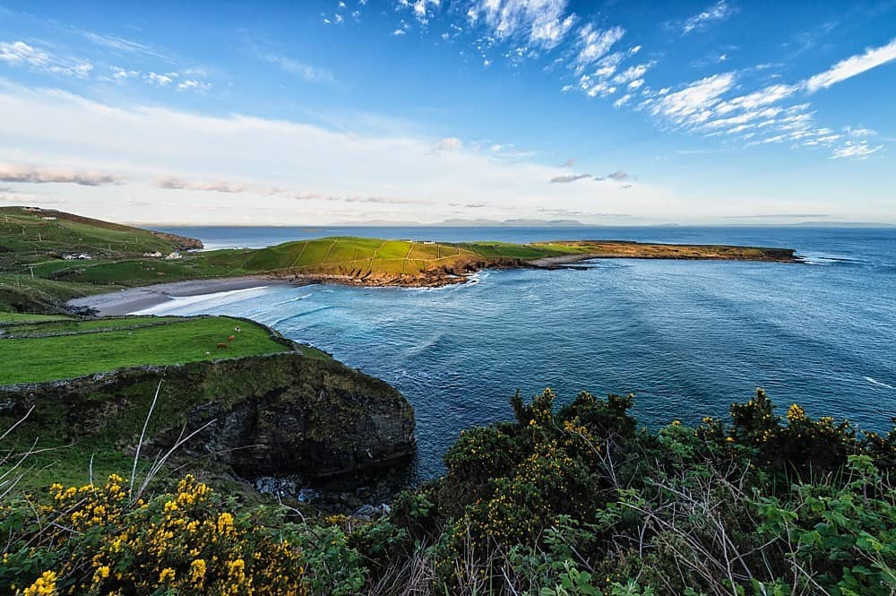 IndicatedFairy fort / earthen ringfort · 424 yd
 Bawn in Meelick (tirawley By.)Bawn · 440 yd
 Site of ChurchChurch · 510 yd
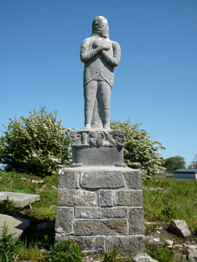 Grave monumentGrave monument · 525 yd
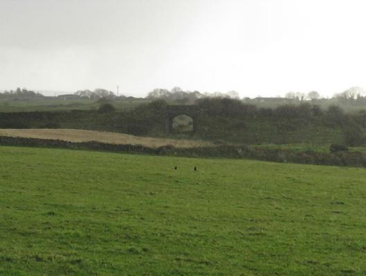 bridgebridge · 609 yd
 Battlefields of MoyneBattlefield · 1443 yd
 CastleCastle, unclassified · 1657 yd
 Battle of Killalabattle · 1.0 mi
 Green IslandIslet · 1.1 mi
 Moyne AbbeyHeritage attraction · 1.3 mi
 Rinnaun PointHeadland · 1.6 mi
 Bartragh IslandIsland · 1.8 mi
Other information
Photo: Credit not shown in the picture search · Rights wording not checked; contact us if this picture should be removed