
What is recorded here
Located on elevated ground, within a graveyard (MA022-043002-).
This church is depicted on the 1838 and 1929 OS 6-inch maps as a rectangular building (7-8m ENE-WSW; 5-6m NW-SE); it is annotated ‘site of Church’ on the 1838 map and ‘Church (in Ruins)’ on the 1929 edition.
The outline of the church can no longer be traced. A remnant of a masonry wall (L 5-6m; H 2m; T c. 0.6-0.7m), on a ENE–WSW axis, may be a fragment of the church, possibly part of the S wall. A thick covering of ivy makes it difficult to examine, but it appears to be constructed of rectangular or square stone blocks, of roughly equal size. A rectangular grave plot (9m N-S; 5.4m E-W) outlined by a low mortared stone wall (Wth 0.45m; H 0.4m) is appended to the N side of the possible church wall, and encloses a 19th-century table tomb.
Attached images:
MA022-043001-_01.JPG Ivy covered wall, possibly part of church, with 19th century grave plot in front, viewed from N.
Compiled by: Jane O’Shaughnessy
Date of upload: 1 May 2019
The monument record does not grant public access. Check the route and ask the landowner before entering private land.
- What survives
- Recorded monument
Places near here
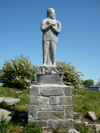 Grave monumentGrave monument · 32 yd
 IndicatedFairy fort / earthen ringfort · 320 yd
 Enclosure in Meelick (tirawley By.)Enclosure · 510 yd
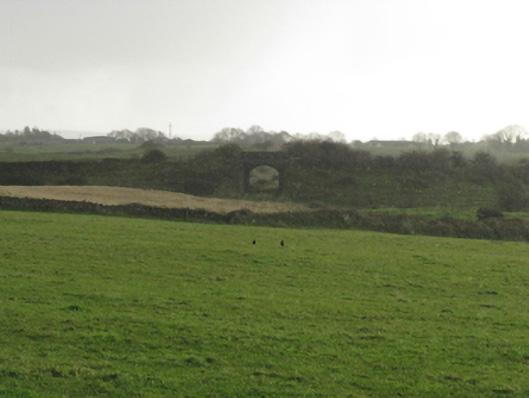 bridgebridge · 708 yd
 Bawn in Meelick (tirawley By.)Bawn · 951 yd
 Battlefields of MoyneBattlefield · 1317 yd
 Moyne AbbeyHeritage attraction · 1.1 mi
 CastleCastle, unclassified · 1.2 mi
 Battle of Killalabattle · 1.3 mi
 Green IslandIslet · 1.3 mi
 Barnasock PointHeadland · 1.7 mi
 Bartragh IslandIsland · 1.7 mi
Other information
Photo: Credit not shown in the picture search · Rights wording not checked; contact us if this picture should be removed