
What is recorded here
In thicket of trees and overgrowth, located on a natural rise in an area of gently undulating, terrain. There is a farmstead immediately to S−SW.
Raised circular area (c. 23.5m N–S) defined by remnants of an earthen bank. The bank (Wth 3.5-4m; int. H 0.6m; ext. H 1.3m) survives NW–NE and at SE–SW, but it is truncated at E by a field wall, and at SW-NW it has been partly dug away as a result of modern disturbance. At WSW the rath is abutted by remnants of a later, roughly square structure (max. dim. c. 6m), defined by a raised rim (Wth 1.5-2m; H 0.5m).
The rath interior was difficult to examine due to dense blackthorn and brambles. There appears to be a slightly raised area (max. dim. c. 10m) off-centre to NW, from which the ground slopes gently to N and W. Sycamore, ash and blackthorn ring the perimeter.
Compiled by: Jane O’Shaughnessy
Date of upload: 2 May 2019
The monument record does not grant public access. Check the route and ask the landowner before entering private land.
- What survives
- Recorded monument
Places near here
 Site of ChurchChurch · 320 yd
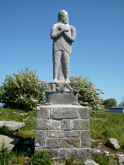 Grave monumentGrave monument · 331 yd
 Cross FortFairy fort / earthen ringfort · 606 yd
 bridgebridge · 721 yd
 Battlefields of MoyneBattlefield · 1105 yd
 Bawn in Meelick (tirawley By.)Bawn · 1203 yd
 Moyne AbbeyHeritage attraction · 1583 yd
 CastleCastle, unclassified · 1.3 mi
 Green IslandIslet · 1.4 mi
 Battle of Killalabattle · 1.4 mi
 Barnasock PointHeadland · 1.5 mi
 Bartragh IslandIsland · 1.5 mi
Other information
Photo: Credit not shown in the picture search · Rights wording not checked; contact us if this picture should be removed