
What is recorded here
This record refers to the church which gave the townland of Killybrone its name. The exact location of the church is in doubt. O'Donovan in the 1838 OS Letters recorded that this church was located 'about six perches to the north of a fort that is nearly destroyed' and occupied ‘the highest part of this rising ground…
Read the whole record
From the National Monuments Service (Archaeological Survey of Ireland) record MA015-060001
Places near here
Photo credits
- Maker not stated on source page, www.alamy.com
- Maker not stated on source page, www.gettyimages.com
- Maker not stated on source page, commons.wikimedia.org
- Maker not stated on source page, www.pinterest.com
- N Chadwick, Wikimedia Commons · CC BY-SA 2.0
- N Chadwick, Geograph · Creative Commons Attribution-ShareAlike 2.0
- Andreas F. Borchert, Wikimedia Commons · CC BY-SA 4.0
- National Inventory of Architectural Heritage
- Killala GAA Club, via Connaught Telegraph; individual photographer not named, www.con-telegraph.ie
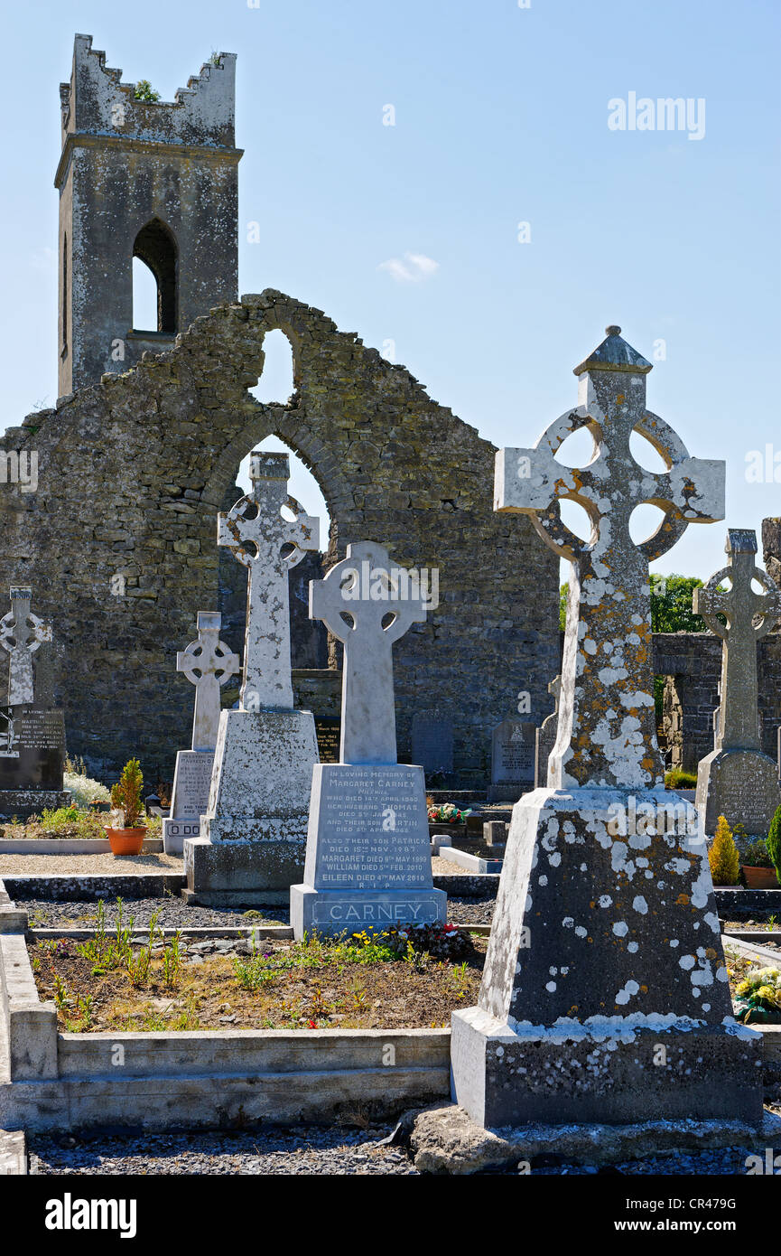 Graveyard in KillybroneGraveyard · 1 yd
Explorer Tom Graveyard in Killybrone started because two lads bet in the pub they could find a church that wasn't there. O'Donovan…
 Wedge tomb in Townplots WestWedge tomb · 950 yd
Explorer Tom Wedge tomb in Townplots West has a curse that only affects people who don't wave when they pass. If you ignore it, your…
 Church in KilgobbanChurch · 954 yd
Explorer Tom Church in Kilgobban would describe the 1800s to a teenager as 'a time when people walked everywhere and complained…
 Fairy fort / earthen ringfort in CroghanFairy fort / earthen ringfort · 1311 yd
Explorer Tom Fairy fort / earthen ringfort in Croghan is sick of being asked if it's haunted. It becomes an island at high tide, so…
 Templemurry GraveyardCemetery · 1738 yd
Explorer Tom Templemurry Graveyard would survive a zombie attack simply by standing still and letting them trip over all the…
 Templemurry Grave YardGraveyard · 1748 yd
Explorer Tom Templemurry graveyard sits on a hillock where the wind keeps picking on it, whistling through the gaps in its old walls…
 Rathfran Abbey in ruinsReligious house, Dominican friars · 1.1 mi
Explorer Tom Rathfran Abbey in ruins hosted a love story where the friar and the baker’s daughter had to hide their letters under…
 Rathfran AbbeyVisitor attraction · 1.1 mi
Explorer Tom Rathfran Abbey in Mayo has an unlikely celebrity friend who is actually just a very persistent fox that refuses to…
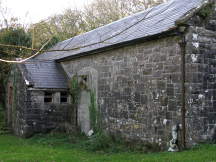 Killala Railway StationStore/warehouse · 1.1 mi
Explorer Tom Killala Railway Station has a goods store involved in a feud with the next village over who had the ugliest cart in…
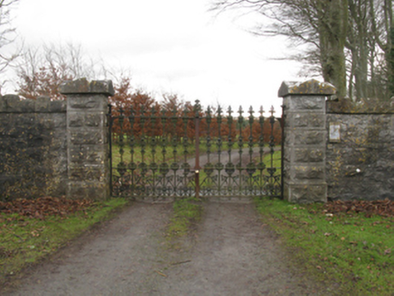 Killala HouseGates/railings/walls · 1.2 mi
Explorer Tom Killala House gates in Killala suspect the postman of stealing letters and reading them for fun while he delivers mail.…
 CastleCastle, unclassified · 1.3 mi
Explorer Tom Two families at Rathfran are still feuding over who owns the best view of nothing in particular. It’s a castle so…
 Gerry Maheady Memorial Park, Killala GAAGAA ground · 1.5 mi
More historic places in County Mayo · All of County Mayo

What do you know about this place?Tap to add a comment or ask a question