What is recorded here
In pasture/silage, located on a rise, on top of a ridge, with extensive views N-E over lowlying coastal grasslands, and beyond to Rathlacken Bay and Killala Bay. To S–SW the land rises to another ridge.
This rath, named ‘Mullaghorn Fort’ on the 1838 and 1922 OS 6-inch maps, is shown on the 1838 edition as a circular enclosure, and on the 1922 edition as a penannular enclosure truncated on the E edge by a quarry. The 1838 OS Letters record that the name is derived from the Irish name ‘Mullach Chairnn, that is the Height or Hill of the Carn’ and describes the enclosure as follows: ‘This is built like an earthen fort (lios) and has round stones of very great size placed circularly on its border, where the parapet of the fort would occupy. The diameter within this circle of large stones, which are placed very contiguous (not closely) to one another is twenty six yards = seventy eight paces and around the circle immediately outside measures eighty paces = two hundred and forty two feet.’ (O’Flanagan, 1927, 137)
It survives as a slightly raised, semi-circular area (29.7m NW–SE; 17.6m NE–SW to quarry face) defined SE–NW by remnants of a bank consisting of a low scarp (ext. H 0.4m) topped with a broad, low internal lip (Wth c. 4m). There is no trace of the circle of large stones mentioned in the OS Letters. The straight side of the enclosure at NNE-E is formed by a quarry pit which has truncated approximately a third of the enclosure. The quarry pit is dug to a depth of c. 2m below level of the rath interior, and extends for c. 45-50m to NNE and E of the enclosure, with the deepest part to NNE-NE.
Compiled by: Jane O'Shaughnessy
Date of upload: 6 December 2018
Mullaghhorn Fort, Croghan is a ringfort, likely dating to the early medieval period, situated on a prominent ridge with strategic views over coastal areas. Local folklore associates such sites with the supernatural, often referring to them as fairy forts, believed to be dwellings of the fairies or ancient spirits.
This remains an important historical record, but the official description says the monument is no longer visible or has been destroyed. The monument record does not grant public access. Check the route and ask the landowner before entering private land.
- What survives
- No visible remains or recorded as destroyed
Places near here
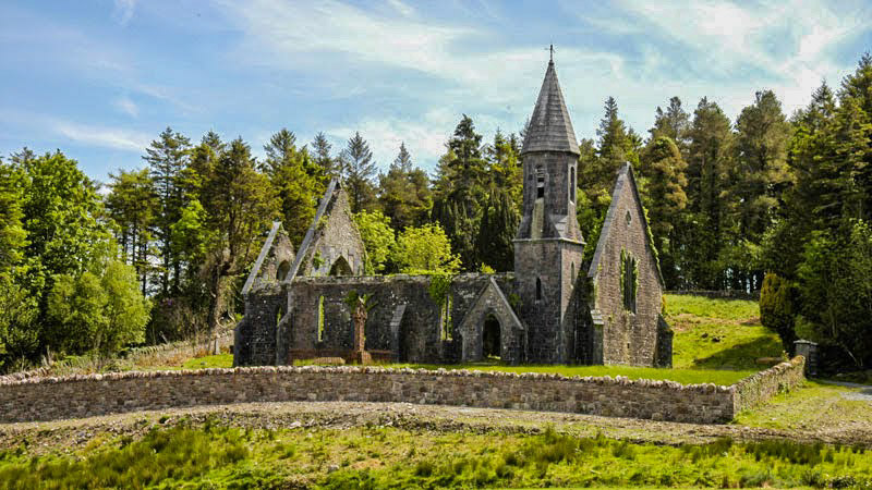 RathwanowenFairy fort / earthen ringfort · 352 yd
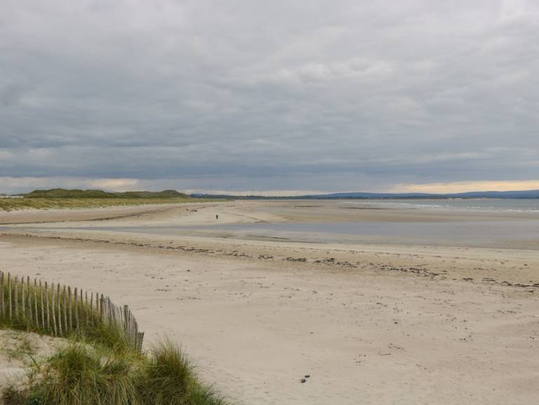 Enclosure in Townplots WestEnclosure · 475 yd
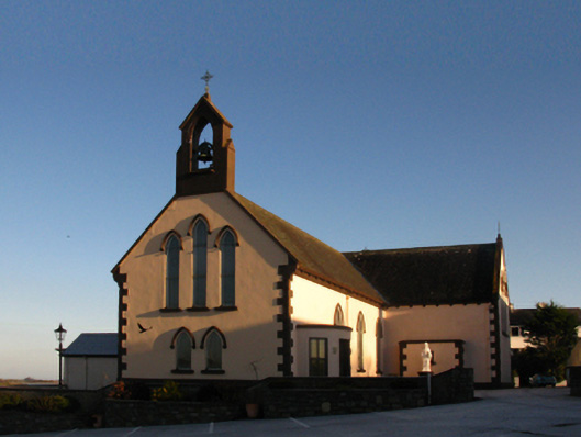 Saint Patrick's Catholic Churchchurch/chapel · 1114 yd
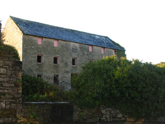 store/warehousestore/warehouse · 1114 yd
 Battle of Killalabattle · 1274 yd
 CastleCastle, unclassified · 1391 yd
 Green IslandIslet · 1585 yd
 Rinnaun PointHeadland · 1.1 mi
 Castle (in Ruins)Castle, tower house · 1.5 mi
 Battlefields of MoyneBattlefield · 2.1 mi
 Moyne AbbeyHeritage attraction · 2.6 mi
 Bartragh IslandIsland · 2.7 mi