
What is recorded here
In pasture, located on elevated ground. This castle is shown on the Down Survey Barony map (1656-8). It is indicated on the 1838 OS 6-inch map as a square building (max. dim. c. 10m), named ‘Farragh Castle’, and it is noted in the 1838 OS Letters as follows: 'In the townland of Farragh were the ruins of a castle and…
Read the whole record
From the National Monuments Service (Archaeological Survey of Ireland) record MA022-025001
Places near here
Photo credits
- Maker not stated on source page, en.wikipedia.org
- Maker not stated on source page, www.pinterest.com
- National Inventory of Architectural Heritage
- Killala GAA Club, via Connaught Telegraph; individual photographer not named, www.con-telegraph.ie
- Maker not stated on source page, www.mirror.co.uk
- Maker not stated on source page, www.gettyimages.com
 Mullafarry Old GraveyardGraveyard · 1101 yd
Explorer Tom Mullafarry Old Graveyard is having a bit of a hissy fit because some bishop refused to visit back in the day.…
 Mullafarry Old ChurchRuins · 1106 yd
Explorer Tom Mullafarry Old Church in County Mayo holds a fake world record for 'Most Time Spent Pretending to Be Important.' It’s…
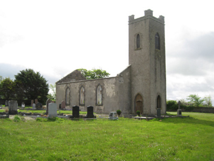 Ballysakeery Church (Ballysakeery)Church/chapel · 1107 yd
Explorer Tom Ballysakeery Church would post its own photos online with captions like ‘Vibe Check: Passed’ and no filters whatsoever.…
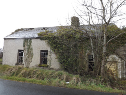 school1137 yd
Explorer Tom Lisglennon school holds a fake world record for the most dust particles per square inch of floor. It sits next to a…
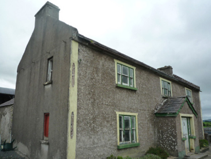 FoxboroughFarm house · 1311 yd
Explorer Tom Foxborough is perfectly positioned for a zombie apocalypse because its skewed alignment blocks all escape routes into…
 Gerry Maheady Memorial Park, Killala GAAGAA ground · 1470 yd
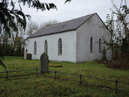 Mullafarry Presbyterian ChurchChurch/chapel · 1542 yd
Explorer Tom Mullafarry Presbyterian Church has a huge, ongoing drama with the nearest tree about who looks taller. The church is…
 Mullafarry Presbyterian GraveyardGraveyard · 1543 yd
Explorer Tom Mullafarry Presbyterian Graveyard has a strong opinion about the road that leads to it. It thinks the tarmac is an…
 manse1572 yd
Explorer Tom Manse in Mullafarry was secured for Reverend John Wilson, who probably thought he deserved a bigger porch for all his…
 Ballybroony HouseKiln · 1.5 mi
Explorer Tom Ballybroony House is actually a kiln, which makes me wonder if the whole estate is just one big baking tray waiting for…
 Nettle IslandCrannog · 1.6 mi
Explorer Tom Nettle Island is a crannog with a family tree written entirely in bog water and pure nonsense. It sits in drained…
 Wedge tomb in Townplots WestWedge tomb · 1.9 mi
Explorer Tom Wedge tomb in Townplots West has a curse that only affects people who don't wave when they pass. If you ignore it, your…
More castles and forts in County Mayo · All of County Mayo

What do you know about this place?Tap to add a comment or ask a question