
What is recorded here
In pasture, straddles a low rise in an area of rolling terrain, with extensive views in all directions, including Killala Bay to E. It is located close to the NE boundary of the townland.
This rath is names ‘Parknaganny Fort’ on the 1838 and 1929 OS 6-inch maps. It consists of a raised circular area (24m N–S; 25.5m E–W) defined by a earthen bank (Wth 5.8m at W, 6.7m at E; int. H 1.1m at W, 0.7m at E; ext. H 2.8m at W, 2.45m at E) and enclosed by a fosse (Wth 4.6m at W, 3.4m at E) and external bank (Wth 4.7m at W, 5-6m at E; int. H 1.55m at W, 0.4m at E; ext. H 0.6m at W, 1.5m at E). The enclosing elements are substantial and well defined. The entrance gap is at the SE; it appears originally to have been c. 2.5m in width, but has been eroded into a wider break (Wth 7.5m). There are traces of a causeway across the fosse, and a corresponding gap (Wth c. 8m), also widened in recent times, in the external bank.
The rath interior is level and grassy. Remnants of a possible sub-rectangular house (MA022-012001-) abut the inner face of the bank at N.
Compiled by: Jane O’Shaughnessy
Date of upload: 23 April 2019
A local fairy fort (ringfort/rath); wider significance not recorded.
The monument record does not grant public access. Check the route and ask the landowner before entering private land.
- What survives
- Recorded monument
Places near here
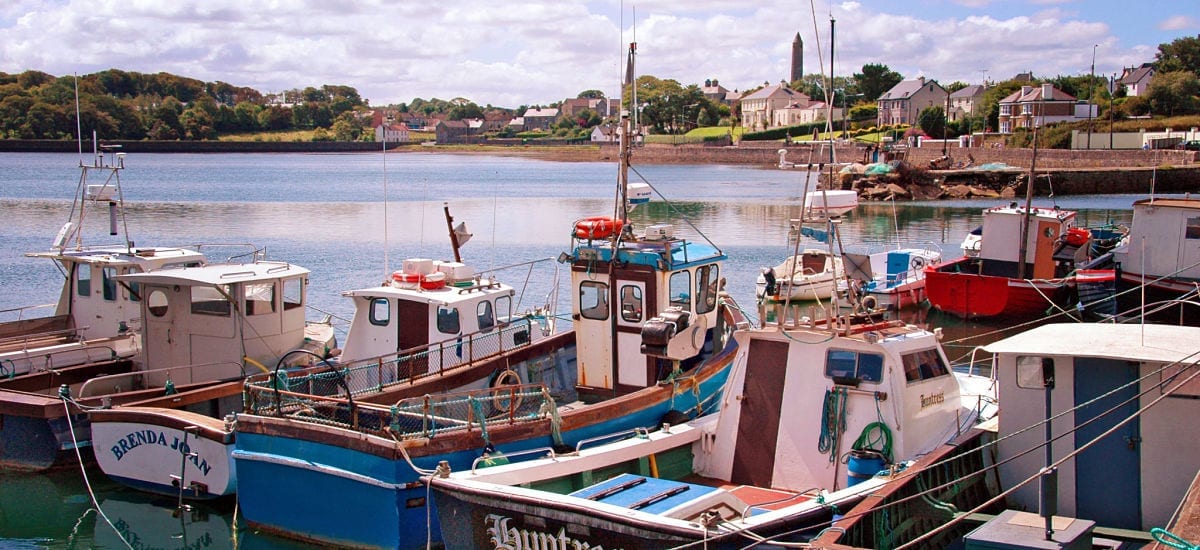 RathcranFairy fort / earthen ringfort · 424 yd
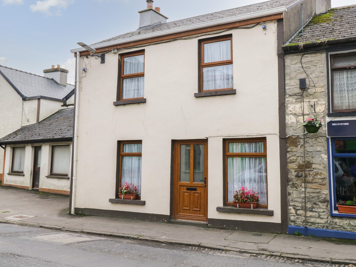 ToberachrinnHoly well · 468 yd
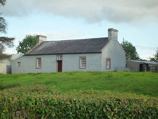 farm housefarm house · 994 yd
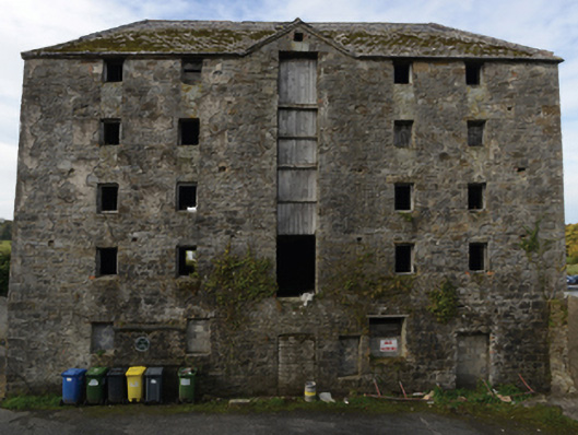 store/warehousestore/warehouse · 1099 yd
 Battle of Killalabattle · 1131 yd
 CastleCastle, unclassified · 1222 yd
 Green IslandIslet · 1.0 mi
 Bawn in Meelick (tirawley By.)Bawn · 1.2 mi
 Rinnaun PointHeadland · 1.5 mi
 Battlefields of MoyneBattlefield · 2.0 mi
 Moyne AbbeyHeritage attraction · 2.6 mi
 Bartragh IslandIsland · 2.8 mi
Other information
Photo: Credit not shown in the picture search · Rights wording not checked; contact us if this picture should be removed