
Places near here
Photo credits
- National Inventory of Architectural Heritage
- Rainer Lippert, Wikimedia Commons · CC0
- Nuala Furley, Wikimedia Commons · CC BY-SA 4.0
- Dasmuy, Wikimedia Commons · CC BY-SA 4.0
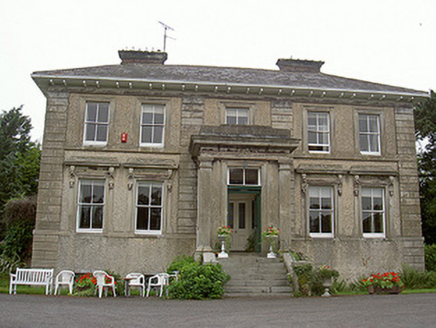 Shanlis HouseCountry house · 226 yd
Explorer Tom Shanlis House claims to be older than the pig faces on its brackets, which is a wild claim I’m buying. It’s all…
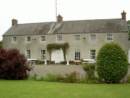 Curraghbeg HouseCountry house · 1345 yd
Explorer Tom Curraghbeg House is doing its best to look like a polite country gentleman in a very muddy field, with that gorgeous…
 mill (water)1750 yd
Explorer Tom Mill in Mentrim in Mentrim, County Meath started because two lads bet they could grind flour without electricity or…
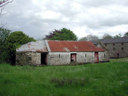 outbuilding1.0 mi
Explorer Tom Outbuilding in Mentrim, County Meath was ignored by the bishop who refused to visit because it was too humble. It’s all…
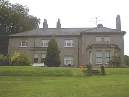 Kilpatrick HouseCountry house · 1.2 mi
Explorer Tom Kilpatrick House has a ghost who is too lazy to actually haunt it, preferring a nap in the bay window. The breakfront…
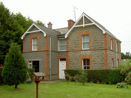 school master's house1.4 mi
Explorer Tom School master's house in Smarmore gave up chocolate for Lent but kept its red brick cheeks. It’s still teaching lessons…
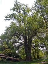 European White Elm1.5 mi
Explorer Tom European White Elm in County Louth is hiding a scandal from centuries ago involving a stolen shoe and a very angry…
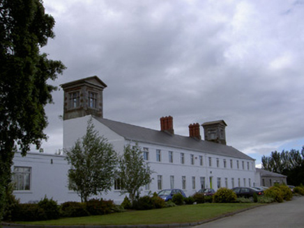 workhouse1.5 mi
Explorer Tom Workhouse in Townparks was the site of a huge argument where the whole parish debated whether the chimneystacks were…
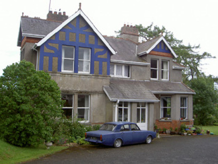 The RectoryRectory/glebe/vicarage/curate's house · 1.5 mi
Explorer Tom The Rectory in Townparks confuses the map makers because it hides behind a very pretentious slate roofline. It’s an…
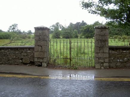 gates/railings/walls1.5 mi
Explorer Tom Gates in Townparks on Jervis Street are proud of their wrought-iron joints that look like they were made by a very…
 CastleCastle, tower house · 1.8 mi
Explorer Tom The Townparks Courthouse would bring a four-hundred-year-old grudge to any party, plus some stale biscuits. It’s still…
 The College (in Ruins)College · 1.9 mi
Explorer Tom The College in Townparks is built from limestone and greywacke, looking like it was assembled by a very confused mason.…
More archaeology and monuments in County Louth · All of County Louth

What do you know about this place?Tap to add a comment or ask a question