What is recorded here
The site of the early church of St. Scíre that became the parish church of Kilskyre (ME016-043----) is within a graveyard which was rectangular (dims c. 65m E-W; c. 40m N-S) as marked on the 1836 ed. of the OS 6-inch map but it has been extended to the W (dim. c. 80m E-W) and is defined by an earthen bank at W and N, a masonry wall at E, and a scarp at S. The table tomb of Hugh O’Reilly and his wife Katherine Plunkett (ME016-043002-) and two armorial plaques (ME016-043003-; ME016-043004-) are in the graveyard. The tower house (ME016-042----) is also within the present graveyard. There are large enclosures from a field system (ME016-044----) in the surrounding fields.
Compiled by: Michael Moore
Date of upload: 4 June, 2014
Amended: 7 August, 2014
The monument record does not grant public access. Check the route and ask the landowner before entering private land.
- What survives
- Recorded monument
Places near here
 Ecclesiastical enclosure in KilskeerEcclesiastical enclosure · 1 yd
 Round TowerCastle, tower house · 28 yd
 IndicatedHoly well · 208 yd
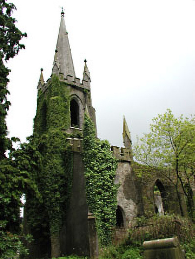 Saint Schiria's Church (Kilskeer)church/chapel · 1.8 mi
 Killua Castlegate lodge · 1.8 mi
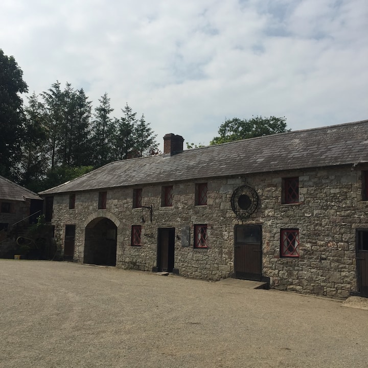 Casserly's WoodWood · 1.8 mi
 Bog WoodsForest · 1.9 mi
 CloncatMountain / peak · 2.1 mi
 Drewstown LittleMountain / peak · 2.6 mi
 BoglandMemorial · 3.1 mi
 Causey FarmHeritage attraction · 3.6 mi
 Moat of DiamorCastle, motte and bailey · 3.6 mi