What is recorded here
Situated on a cairn (diam. c. 2m; H c. 0.5m) around a whitethorn tree in the centre of a T-junction of the R154 SE-NW Athboy to Kilskeer road with a minor road from the ENE at White Cross Road, and c. 600m SE of Kilskeer. It is marked only on the 1908-1911 ed. of the OS 6-inch map. This is a small stone cross with a diamond-shaped cross-section (dims 0.1m x 0.1m; H 0.33m; span 0.3m), which has raised leaf-shaped motifs on the arms and stem that are flush with the edges of the cross at front and back. It is probably 19th century in date.
Compiled by: Michael Moore
Date of upload: 6 May, 2015
The monument record does not grant public access. Check the route and ask the landowner before entering private land.
- What survives
- Recorded monument
Places near here
 Stone CrossCross, Wayside cross · 43 yd
 IndicatedHoly well · 518 yd
 Round TowerCastle, tower house · 737 yd
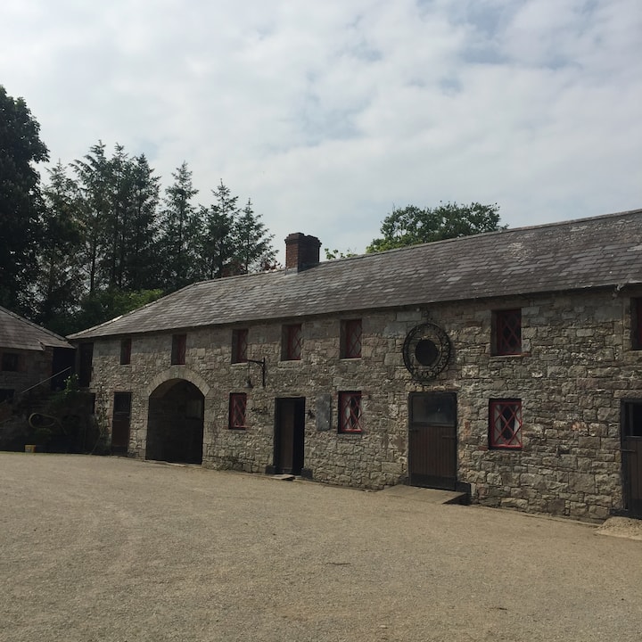 Casserly's WoodWood · 1.4 mi
 Rathouse WoodWood · 1.6 mi
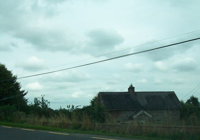 Laurence Lodgeworker's house · 1.6 mi
 CloncatMountain / peak · 1.7 mi
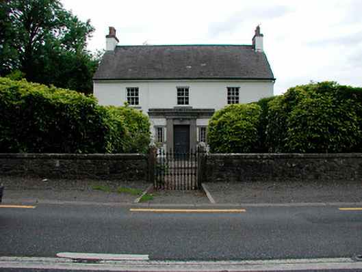 Fairy Parkhouse · 1.9 mi
 Drewstown LittleMountain / peak · 2.2 mi
 BoglandMemorial · 2.7 mi
 Causey FarmHeritage attraction · 3.2 mi
 FarmaphobiaHeritage attraction · 3.2 mi