What is recorded here
Situated in a gently undulating low-lying landscape. An area of about 6 hectares (c. 15 acres) S of Kilskeer castle (ME016-042----) and church (ME016-043001-) contains a number of relict field boundaries which form large circular enclosures (diam. c. 200m) centering on low rises. The enclosures are defined by scarps (H c. 1m) or hollow ways or silted drains (Wth 4-5m; D 0.5m). No house sites were identified in the area. A magnetometer survey (06R022) revealed that the area around the graveyard was masked by cultivation ridges on various alignments but two parallel WNW-ESE banks 20m apart (L 60m) were noted N of the graveyard. These features may have formed part of an enclosure that was echoed by features S of the graveyard. The N part of one of the large circular enclosures was also confirmed. (Gibson 2007)
The above description is derived from the published 'Archaeological Inventory of County Meath' (Dublin: Stationery Office, 1987). In certain instances the entries have been revised and updated in the light of recent research.
Compiled by: Michael Moore
Date of revision: 26 February 2019
The monument record does not grant public access. Check the route and ask the landowner before entering private land.
- What survives
- Recorded monument
Places near here
 IndicatedHoly well · 146 yd
 Round TowerCastle, tower house · 168 yd
 Ecclesiastical enclosure in KilskeerEcclesiastical enclosure · 171 yd
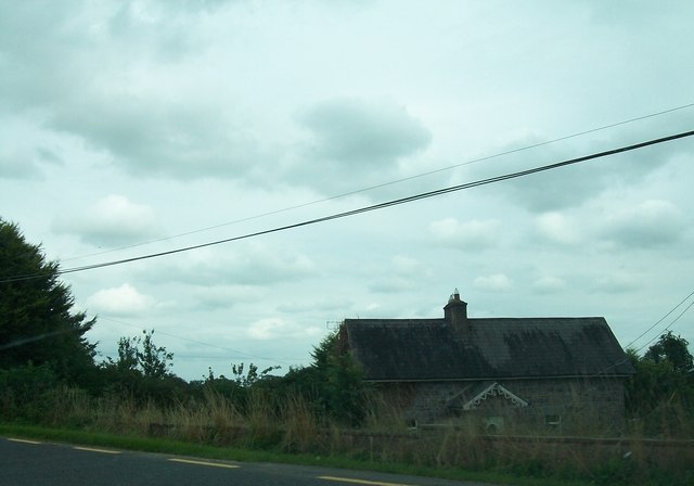 Laurence Lodgeworker's house · 1.7 mi
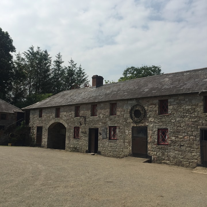 Casserly's WoodWood · 1.7 mi
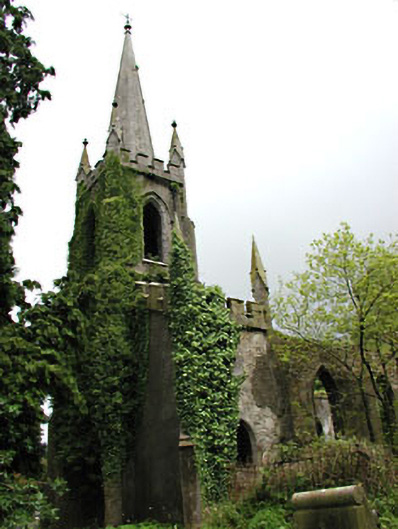 Saint Schiria's Church (Kilskeer)church/chapel · 1.9 mi
 Bog WoodsForest · 1.9 mi
 CloncatMountain / peak · 2.1 mi
 Drewstown LittleMountain / peak · 2.5 mi
 BoglandMemorial · 3.1 mi
 Causey FarmHeritage attraction · 3.5 mi
 FarmaphobiaHeritage attraction · 3.5 mi