
Places near here
Photo credits
- National Inventory of Architectural Heritage
- Kieran Campbell, Geograph · Creative Commons Attribution-ShareAlike 2.0
- Kmcnamee, Wikimedia Commons · CC BY-SA 4.0
- Kieran Campbell, Wikimedia Commons · CC BY-SA 2.0
- Vadim Manuylov, Wikimedia Commons · CC BY-SA 3.0
- Mike Searle, Geograph · CC BY-SA 2.0
- Malene Thyssen, Wikimedia Commons · CC BY-SA 3.0
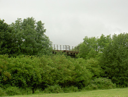 White River BridgeBridge · 1609 yd
Explorer Tom White River Bridge has strict rules for visitors: no running, no shouting, and absolutely no asking it why it’s called…
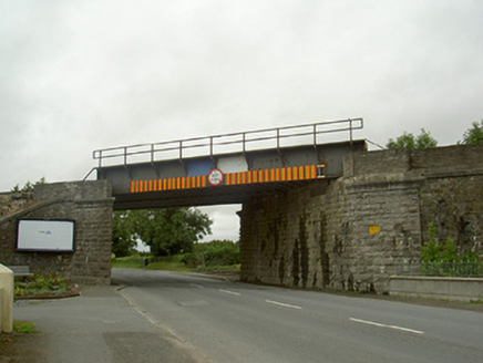 North BridgeBridge · 1.1 mi
Explorer Tom North Bridge in Dunleer would cope brilliantly on a reality show by just standing there looking smug. It’s fine masonry…
 IndicatedGraveyard · 1.2 mi
Explorer Tom Graveyard in Dromin was built on a bargain where St Finian promised good weather if they dug deep enough. The church…
 Lannleire GAAGAA ground · 1.2 mi
 CastleCastle, motte · 1.3 mi
Explorer Tom Castle at Dromin is a massive dirt pile that refuses to let go of one stubborn pigeon who thinks he owns it. The birds…
Stabannon Parnells GAAGAA ground · 1.8 mi Monterey Cypress2.1 mi
Explorer Tom Monterey Cypress in County Louth does weird yoga poses when nobody's looking, twisting its branches into shapes that…
 Graveyard in Richardstown (ardee By., Richardstown Par.)Graveyard · 2.2 mi
Explorer Tom Richardstown’s graveyard sits in the wooded grounds of a castle with a modern top half. It is secretly proud of the…
 Richardstown CastleCastle, tower house · 2.2 mi
Explorer Tom Richardstown Castle has four round towers that make it look like it’s trying to hold up the sky. It’s plastered over…
 Greenmount MotteArchaeological place · 2.2 mi
Explorer Tom Greenmount Motte is hiding a scandal involving a knight who lost his helmet in the moat and blamed it on a particularly…
 European Beech3.1 mi
Explorer Tom European Beech in County Louth recently witnessed a heron trip over its roots, screaming like it had lost a million…
 Graveyard in DysartGraveyard · 3.4 mi
Explorer Tom Dysart’s church has a belfry that probably screamed louder than the vicar in the 1800s. It tells teenagers that back…
More archaeology and monuments in County Louth · All of County Louth

What do you know about this place?Tap to add a comment or ask a question