What is recorded here
The following description is derived from both the published 'Archaeological Inventory of County Louth' (Dublin: Stationery Office, 1986) and the 'Archaeological Survey of County Louth' (Dublin: Stationery Office, 1991). In certain instances the entries have been revised and updated in the light of recent research.
Date of upload/revision: 17 July 2007
Built of rubble limestone, boulders and greywacke, and situated on a slight rise overlooking the immediate countryside. It has a W bellcote with punch-dressed limestone jambs. Undivided nave and chancel (int. dims. c. 17m E-W and c. 5m N-S). Doorway in W end of S wall with reveals, bar holes and rounded arch constructed of greywacke with central keystone. Only small portion of the featureless E wall remains. Splayed ope in W gable below bellcote and to its S. Remains of other splayed ope at W end of N wall. This is a fifteenth- or sixteenth-century parish church. (CLAJ 1924, 282; CLAJ 1943, 203)
The monument record does not grant public access. Check the route and ask the landowner before entering private land.
- What survives
- Recorded monument
Places near here
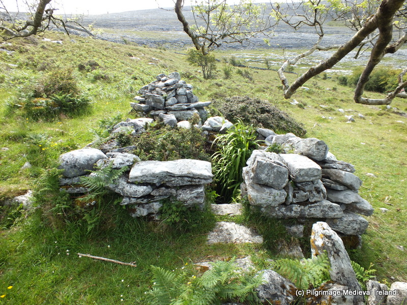 Holy well in CappogeHoly well · 809 yd
 Enclosure in MullincrossEnclosure · 1150 yd
 White River Bridgebridge · 1598 yd
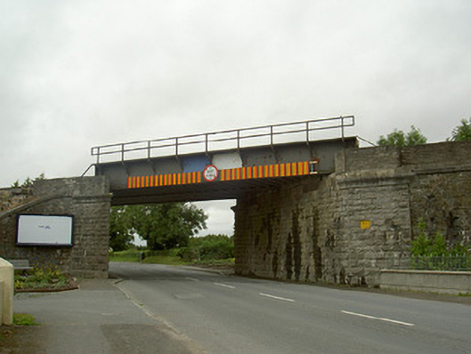 North Bridgebridge · 1.1 mi
 IndicatedCastle, motte · 1.4 mi
 CastleCastle, unclassified · 1.5 mi
 Monterey CypressMonterey Cypress · 2.1 mi
 Graveyard in Richardstown (ardee By., Richardstown Par.)Graveyard · 2.2 mi
 Rathescar Lakeside WalkWood · 2.3 mi
 Tullydonnell HillMountain / peak · 2.6 mi
 Graveyard in DysartGraveyard · 3.4 mi
 Monasterboice Round TowerHeritage attraction · 4.9 mi