
What is recorded here
Situated on a fairly level landscape above the valley of the W-E Dee River, with the stream c. 300m to the S. The cropmarks of two circular features are visible on Google Earth (21/07/2021). This feature (int. diam. c. 15m) is defined by a continuous fosse (Wth c. 3-4m). The enclosure (LH018-072002-) is c. 2m to the ESE. This feature is also visible on OSI aerial images (1995) while its neighbour is not but both features can be distinguished on Aerial Premium (2013-18). The features were first reported by Jean Charles Caillére.
Compiled by: Michael Moore
Date of upload: 22 October 2021
The monument record does not grant public access. Check the route and ask the landowner before entering private land.
- What survives
- Recorded monument
Places near here
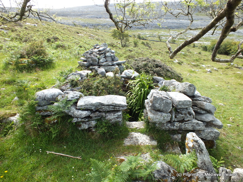 Holy well in CappogeHoly well · 516 yd
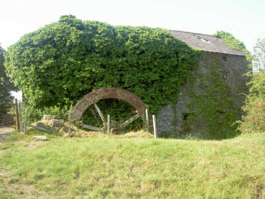 mill (water)mill (water) · 1492 yd
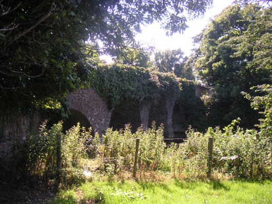 Drumcar Bridgebridge · 1576 yd
 Ecclesiastical site in DrumcarEcclesiastical site · 1682 yd
 GreenmountCastle, motte and bailey · 1.6 mi
 CastleCastle, unclassified · 2.0 mi
 Graveyard in Richardstown (ardee By., Richardstown Par.)Graveyard · 2.2 mi
 Monterey CypressMonterey Cypress · 2.2 mi
 Tullydonnell HillMountain / peak · 2.7 mi
 Rathescar Lakeside WalkWood · 2.9 mi
 Drummeenagh HillMountain / peak · 3.3 mi
 Graveyard in DysartGraveyard · 3.5 mi
Other information
Photo: Credit not shown in the picture search · Rights wording not checked; contact us if this picture should be removed