
What is recorded here
The following description is derived from both the published 'Archaeological Inventory of County Louth' (Dublin: Stationery Office, 1986) and the 'Archaeological Survey of County Louth' (Dublin: Stationery Office, 1991). In certain instances the entries have been revised and updated in the light of recent research.
Date of upload/revision: 17 July 2007
OS Letters refer to the tradition of a friary (CLAJ 1942, 106) some 280m W of church (LH018-014001-). No visible surface trace, and its precise location cannot be identified.
A local church or high cross; wider significance not recorded.
The monument record does not grant public access. Check the route and ask the landowner before entering private land.
- What survives
- Recorded monument
Places near here
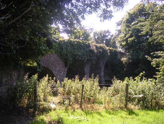 Drumcar Bridgebridge · 149 yd
 Church in ruinsChurch · 191 yd
 Enclosure in MullincrossEnclosure · 790 yd
 Enclosure in DrumcarEnclosure · 1295 yd
 GreenmountCastle, motte and bailey · 1.3 mi
 Tullydonnell HillMountain / peak · 1.9 mi
 CastleCastle, unclassified · 1.9 mi
 European BeechEuropean Beech · 2.8 mi
 European YewEuropean Yew · 2.8 mi
 Graveyard in DysartGraveyard · 2.9 mi
 Drummeenagh HillMountain / peak · 3.2 mi
 Graveyard in Richardstown (ardee By., Richardstown Par.)Graveyard · 3.2 mi
Other information
Photo: Credit not shown in the picture search · Rights wording not checked; contact us if this picture should be removed