What is recorded here
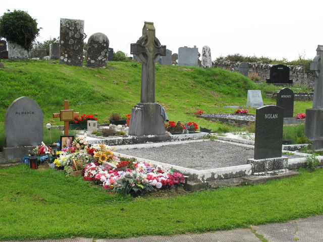
Situated immediately NE of a minor road, in gently undulating pasture. The graveyard is still used. It is enclosed by a wall (H 1m), partly of dry-stone construction and partly mortared. The focus of the graveyard is a sub-oval embankment (H 1.3m) which slopes sharply down to S, SW and E, an which slopes more gently down to W, N and NE. Most of the graves are oriented ENE by WSW, but there is a cluster in the N part of the yard which are oriented E-W. The earliest monuments date from the 18th Century and are upright limestone slabs. According to Westropp (1904-5, 365) the remains of Derrygalvan Church (LI013-026001-) stood in the graveyard up to around 1840.
Situated immediately NE of a minor road, in gently undulating pasture. The graveyard is still used. It is enclosed by a wall (H 1m), partly of dry-stone construction and partly mortared. The focus of the graveyard is a sub-oval embankment (H 1.3m) which slopes sharply down to S, SW and E, an which slopes more gently down to W, N and NE. Most of the graves are oriented ENE by WSW, but there is a cluster in the N…
From the National Monuments Service (Archaeological Survey of Ireland) record LI013-026002
The monument record does not grant public access. Check the route and ask the landowner before entering private land.
- What survives
- Recorded monument
Places near here
 ballroom/dance hall/disco64 yd
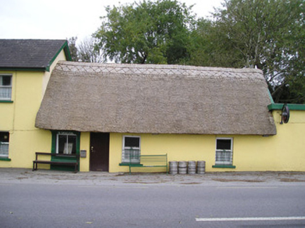 Ó SéaghdhaHouse · 430 yd
 GlenshielHouse · 517 yd
 Peafield BridgeBridge · 632 yd
 house, farm house836 yd
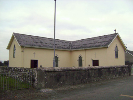 Saint Patrick's Catholic ChurchChurch/chapel · 1.2 mi
 presbytery/parochial/curate's house1.3 mi
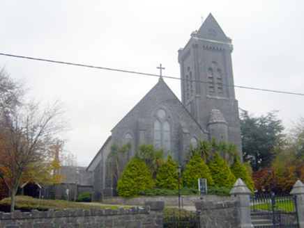 Saint Mary Magdalen's Catholic ChurchChurch/chapel · 1.3 mi
 SunninghillHouse · 1.4 mi
_-_geograph.org.uk_-_4570282.jpg/250px-Castles_of_Munster,_Rathurd,_Limerick_(3)_-_geograph.org.uk_-_4570282.jpg "Photo: Mike Searle, Wikimedia Commons · CC BY-SA 2.0") Castle (in ruins)Castle, tower house · 1.6 mi
Castle (in ruins)Castle, tower house · 1.6 mi Jackie PowerMemorial · 2.1 mi
_-_geograph.org.uk_-_6519496.jpg/250px-Castles_of_Munster,_Castle_Troy,_Limerick_(1)_-_geograph.org.uk_-_6519496.jpg "Photo: Garry Dickinson, Wikimedia Commons · CC BY-SA 2.0") Castle Troy (in ruins)Castle, tower house · 2.3 mi
Castle Troy (in ruins)Castle, tower house · 2.3 miPictures: National Inventory of Architectural Heritage; Mike Searle, Wikimedia Commons · CC BY-SA 2.0; David Hawgood, Geograph · CC BY-SA 2.0; Garry Dickinson, Wikimedia Commons · CC BY-SA 2.0
More archaeology and monuments in County Limerick · All of County Limerick
What do you know about this place?