
What is recorded here
Yes. That is the only false claim in the previous answer. The correct area is Clanwilliam. I will use Clanwilliam and keep the rest of the story unchanged.
Rathurd (Ráth Shiuird) Castle described in 1840 as, ‘This castle, which is seated on an eminence, is circular, and is about 30 feet [27.4m] high. It has been converted into a dwelling-house, now (1839) the seat of Mr. John Benson’ (OSNB St. Nicholas Parish, 1554).
The 16th century Desmond Survey recorded that John Browne of Knockmonye possessed in the barony of Clanwilliam the 'The vill castle and land of Rathtewer in the parish of Lymerick in Clanwilliam now or late in the tenure or occupation of said John Browne; containing 2 carucates or quarters worth yearly. Memorandum: a third part of said vill and land formerly belonged to FitzSimonds and was subject to a yearly rent of £1 payable to the mayor bailiffs and inhabitants of Limerick city. John Browne bought said third part so that the vill of Rathtewer aforesaid totally belongs to him' (Murphy 2013, 131).
Westropp (1906-07, 88) recorded the following details about Rathurd Castle; 'The ancient Rathsuird, or Rathardasuird (Book of Rights). Rathsyward was a parish 1253 to 1418 ("Churches," No. 32). In 1583 J. Browne, C[astle]. of Rathwerde, well repaired, with an iron door, balne [LI013-023001-], pigeon-house, [LI013-023002-] and other buildings (Des. R., 67b. See Peyton, p. 233). 1589 C[astle]. granted to Rob. Anstey (Fi., 5363). 1600 Held by N. Stritch (Inq. Ex., 11, Chan., 9a). 1606 N. Bourke and Ph. Field held in fee the entire C[astle]. of Rathuird, fishery, &c. (Inq. Chan. Car. I., 231). 1655 The lands held by N. and Jas. Bourke and Barth. Stacpoll (C.S., xxix., p. 36). 1666 Grant to Capt. J. Friend (Act Sett.) and N. Rathurd to Capt. Winckworth. Fabric. - A round C[astle], square inside, 20½ [6.25m] feet internally, with four stories, the third floor being vaulted. It is about 35 feet [10.66m] high, the walls 13 feet [4m] thick at greatest mass. A nearly levelled rath [LI013-144----] lies 30 yards [27m] to north-west (O.S.L., 8, p. 160)'.
Rathurd Castle is depicted as a T-shaped or L-shaped house with chimneystack rising above roofline on the 17th century Down Survey map of South Liberties barony (Hib. Reg.). Castle shown as a two storey high house with gable ended chimney stack on the Down Survey map of the parish of St Michaels and St Nicholas (NLI, MS. 718). The terrier of this parish map recorded that 'there Standes a Castle with an orchard on North Ratehurd' (ibid.). Donnelly (1999, 31) recorded that Rathurd Castle was the only circular-shaped tower house in County Limerick . Circular castle described by Salter (2004, 94) as follows; 'This 10.5m high circular tower adjoining a farmhouse contains four storeys of rooms 6m square with the third level vaulted'.
Compiled by: Caimin O'Brien
Date of upload: 26 November 2020
Rathurd Castle was built in the 13th century by the Fitzgerald family, Lords of Kilkenny, and later held by the Butler family. It is remembered as a significant medieval stronghold in the region, reflecting the strategic and political power of its builders and occupants.
The monument record does not grant public access. Check the route and ask the landowner before entering private land.
- What survives
- Recorded monument
Places near here
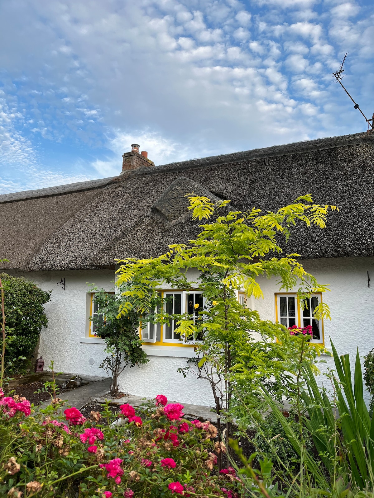 Habitation site in Banemore (clanwilliam By.)Habitation site · 322 yd
 BarrowBarrow, unclassified · 678 yd
 presbytery/parochial/curate's housepresbytery/parochial/curate's house · 812 yd
 Not shown.Kiln, corn-drying · 839 yd
 CastleCastle, ringwork · 1114 yd
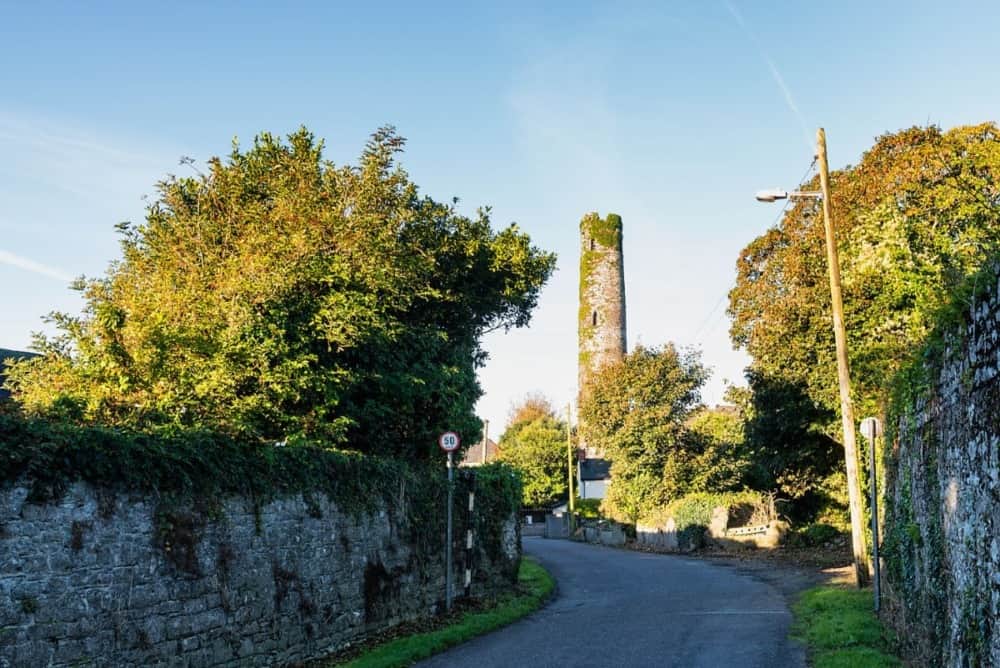 Round Tower (Site of)Castle, tower house · 1.6 mi
 The Singer from QuimperMemorial · 2.2 mi
 Saint John Paul IIMemorial · 2.2 mi
 Visitor CentreVisitor information · 2.8 mi
 Fountain SculptureHeritage attraction · 2.8 mi
 Campus MapVisitor information · 2.8 mi
 Seán Keating GalleryGallery · 4.8 mi
Other information
Photo: Mike Searle · CC BY-SA 2.0