
What is recorded here
Identified by Avril Hayes during archaeological pre-development testing (License 00E0855) associated with the Limerick Southern Ring Road Project. A cremation pit (LI013-216----) was located approx. 10m to W. Excavated under licence 00E8055 ext. by Avril Hayes (Hayes 2001), the results were summarised as following; ‘Excavation of the larger feature revealed it to be curvilinear, 10m long, 1.1m wide and 0.07m deep. Only the north and east portion survived, but it seemed to enclose a drying kiln to the south and west. The drying kiln was orientated north–south with the drying pit at north. The kiln was 5m long and varied in width from the burning-pit, 1.5m, to the flue, 0.75m. The cut of the kiln was filled with charcoal, and with ash in the flue and the burning-pit. A greyish brown silt filled the drying-pit. Roughly hewn limestones lined the sides of the kiln but they were present only in patches. The lining was heavily disturbed. The curvilinear feature has been interpreted as a possible barn enclosing the kiln.’ (www.excavations.ie 2001; 595 & 796, Hayes 2001).
Compiled by: Martin Fitzpatrick
Date upload: 30 June 2020
The monument record does not grant public access. Check the route and ask the landowner before entering private land.
- What survives
- Recorded monument
Places near here
 BarrowBarrow, unclassified · 179 yd
 Fulacht fia in Rathbane SouthFulacht fia · 458 yd
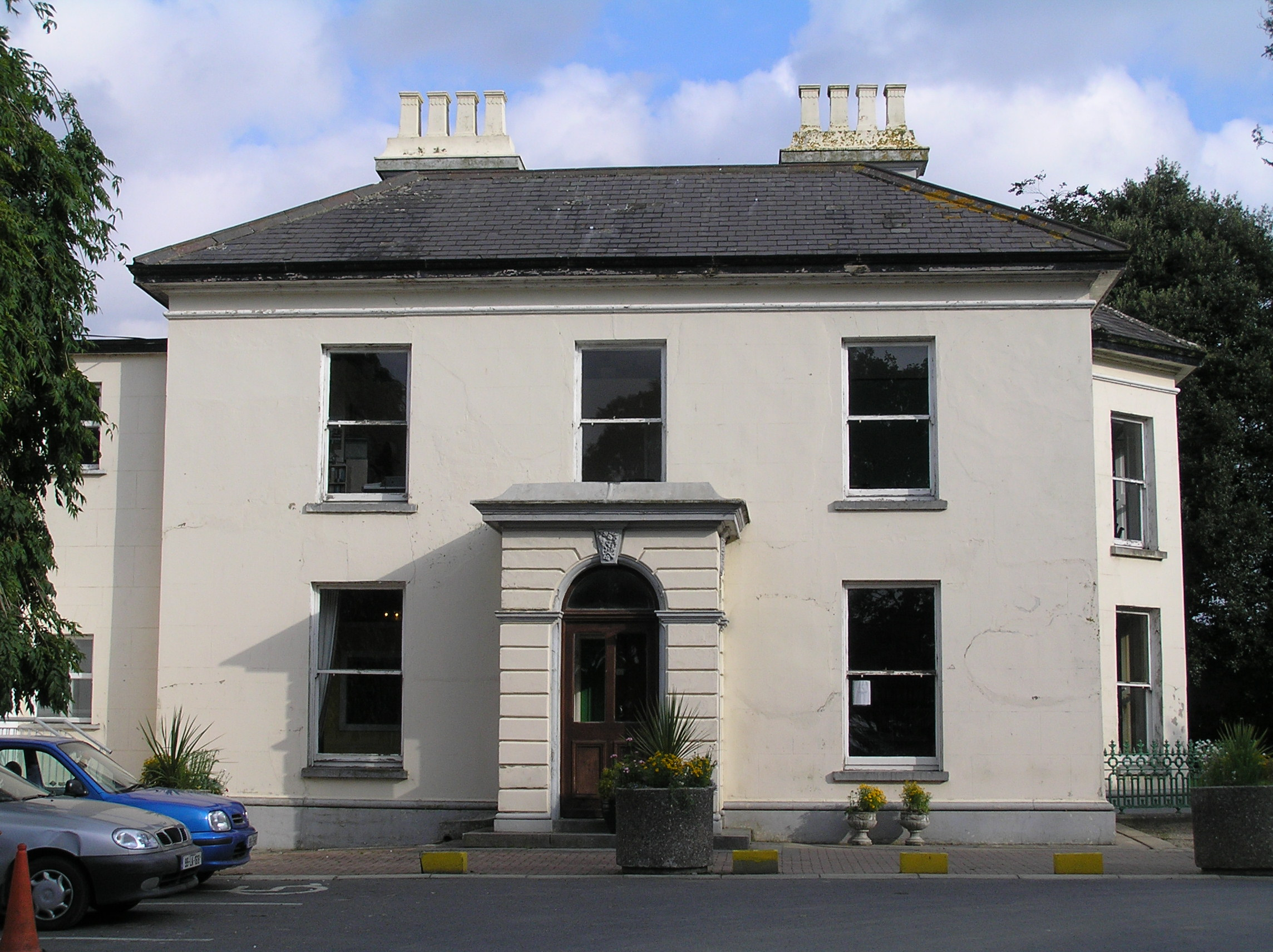 Southill Househouse · 664 yd
 Castle (in ruins)Castle, tower house · 839 yd
 CastleCastle, ringwork · 857 yd
 St. Dominicks Church (in ruins)Church · 1619 yd
 The Singer from QuimperMemorial · 1.8 mi
 Saint John Paul IIMemorial · 1.8 mi
 Fountain SculptureHeritage attraction · 2.7 mi
 Visitor CentreVisitor information · 2.8 mi
 Campus MapVisitor information · 2.8 mi
 Seán Keating GalleryGallery · 4.6 mi
Other information
Photo: Credit not shown in the picture search · Rights wording not checked; contact us if this picture should be removed