
What is recorded here
Molten rock rained upon the brushwood platform, shaking the finished chamber and forcing everyone outside. The sudden violence revealed the hidden danger beneath the beautiful valley, while the camera captured the exact moment the earth stopped pretending to be gentle.
Identified during archaeological monitoring associated with the N20/N21 Limerick Bypass. Fulacht fia (LI013-171----) located approx. 100m to E. Excavated under licence no. 99E0525 by Catherine McLoughlin (McLoughlin 1999), the results were summarised as following: ‘The site was an artificial platform of brushwood, peat and clay. The brushwood base was horizontally laid, with no evidence for vertical pegs to hold the larger timbers in place. The timbers were very poorly preserved and showed no signs of toolmarks. They were laid on top of an apparently natural peat layer and were concentrated underneath a peaty redeposit in an area measuring c. 8.5m east-west by 3.5m. Above the layers of timber and peat a thin deposit of tacky, grey clay formed an artificial ground surface above the natural water level. This clay layer was cut in the north-western quadrant of the platform by a shallow, subcircular pit that had a maximum depth of 0.4m and a mean diameter of 1.24m. The pit was filled by two peaty deposits but yielded no artefacts. The pit, its fills and the grey clay surface were sealed beneath a charcoal-rich layer of heat-shattered sandstone, with a maximum depth of 0.3m. Although this layer conforms to the classic definition of fulacht fiadh material, no further evidence, such as a definite trough feature or traces of on-site burning, indicate the use of the site as a cooking area. The presence of an extensive fulacht fiadh c. 100m to the east (LI013-171----) suggests that the stony, charcoal-rich layer may have been transported to the site to refurbish the artificial platform following the abandonment of the pit. No datable artefacts were recovered from the site (www.excavations.ie; McLoughlin 2000, 179).
Compiled by: Martin Fitzpatrick
Date upload: 26 June 2020
The monument record does not grant public access. Check the route and ask the landowner before entering private land.
- What survives
- Recorded monument
Places near here
 Not shown.Kiln, corn-drying · 458 yd
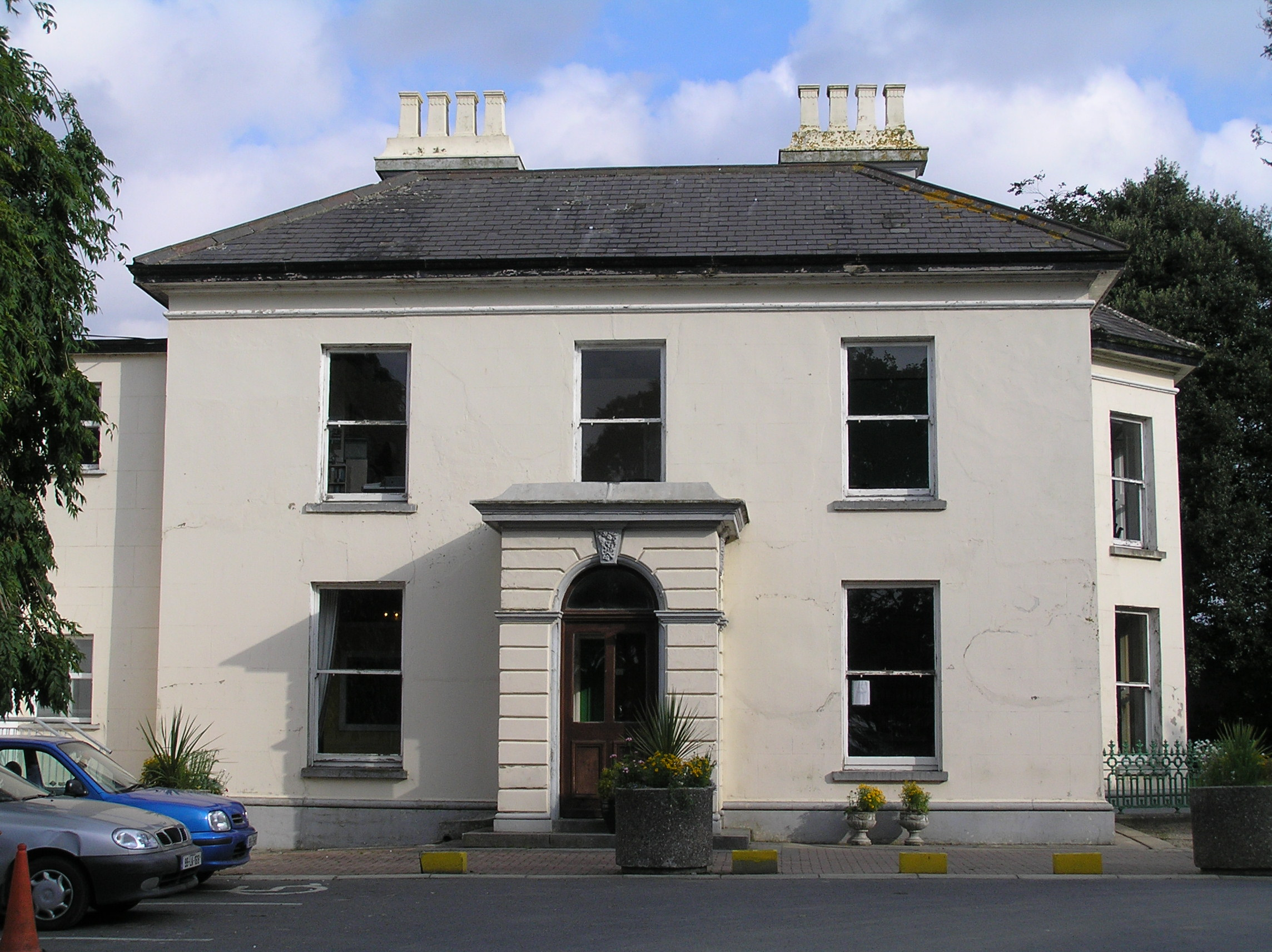 Southill Househouse · 508 yd
 BarrowBarrow, unclassified · 636 yd
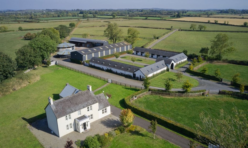 Enclosure in Ballysheedy EastEnclosure · 667 yd
 CastleCastle, ringwork · 1179 yd
 Castle (in ruins)Castle, tower house · 1265 yd
 Limerick Seamen's MemorialMemorial · 1.6 mi
 Saint John Paul IIMemorial · 1.6 mi
 Fountain SculptureHeritage attraction · 2.9 mi
 Visitor CentreVisitor information · 2.9 mi
 Campus MapVisitor information · 2.9 mi
 Seán Keating GalleryGallery · 4.5 mi
Other information
Photo: Credit not shown in the picture search · Rights wording not checked; contact us if this picture should be removed