
What is recorded here
Situated on a gentle rise in the N part of a golf course, immediately to E of a housing estate and S of a garage and workshop. The monument is masked by dense grassy vegetation cover. A partial circular area (diam. c. 75m) defined by a scarp, an outer bank and an intervening fosse. It has been truncated from NNW to NNE. The scarp (H 1m) has been embellished by a slight bank (Wth less than 0.5m) from NNE and NE. The fosse (Wth. 7.9m) is flat-bottomed and is evident throughout the circuit of the scarp and the outer bank (int. H 0.6m; ext. H 0.5m; Wth. 2m). There is a gap (Wth. 2.8m) in the W of the external bank.
Compiled by: Denis Power
Date of upload: 30 August 2012
A local castle; wider significance not recorded.
The monument record does not grant public access. Check the route and ask the landowner before entering private land.
- What survives
- Recorded monument
Places near here
 BarrowBarrow, unclassified · 780 yd
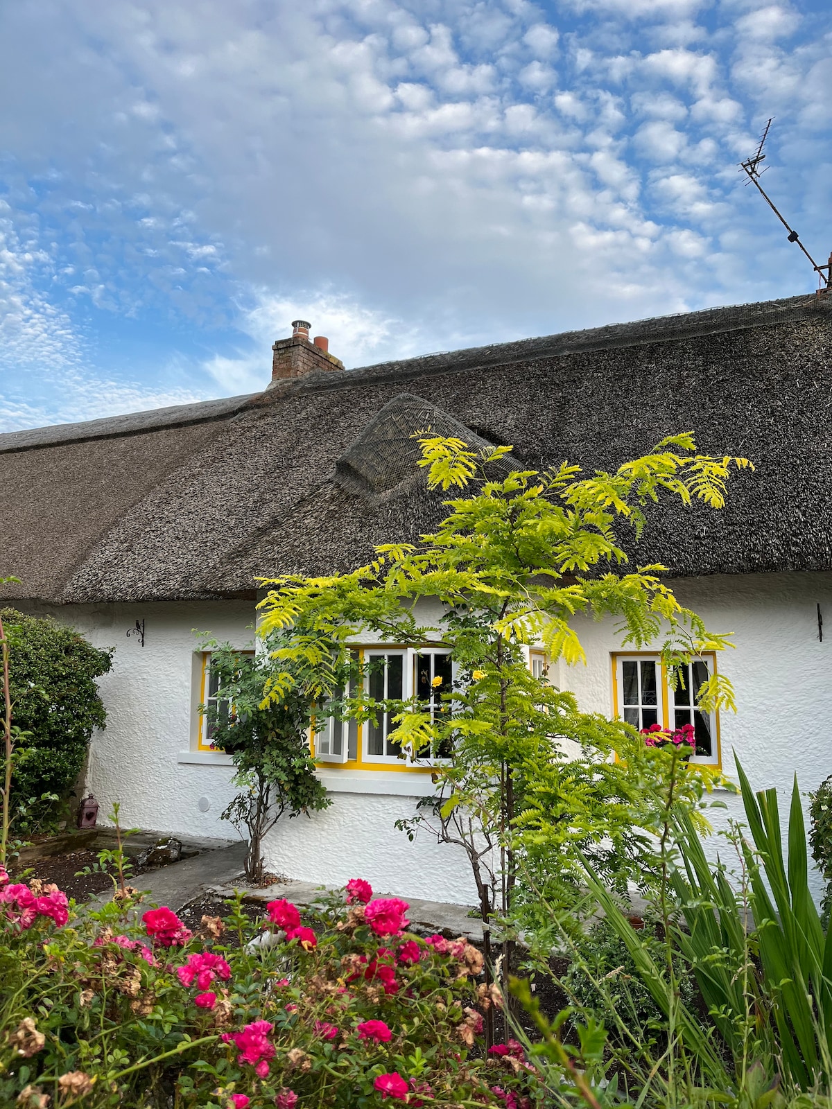 Habitation site in Banemore (clanwilliam By.)Habitation site · 803 yd
 Not shown.Kiln, corn-drying · 857 yd
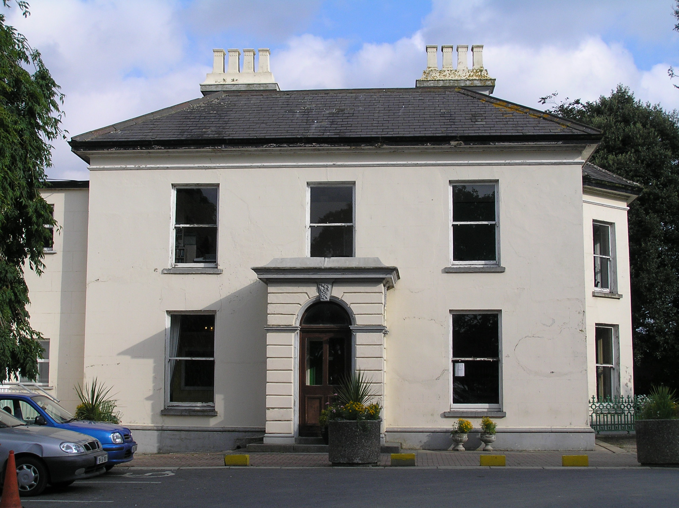 Southill Househouse · 936 yd
 Castle (in ruins)Castle, tower house · 1114 yd
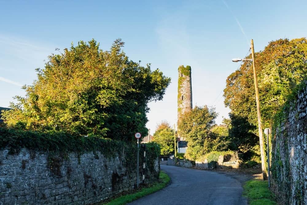 Round Tower (Site of)Castle, tower house · 1617 yd
 The Singer from QuimperMemorial · 1.6 mi
 Saint John Paul IIMemorial · 1.7 mi
 King's IslandIsland · 2.1 mi
 Fountain SculptureHeritage attraction · 2.3 mi
 Visitor CentreVisitor information · 2.3 mi
 Campus MapVisitor information · 2.3 mi
Other information
Photo: Credit not shown in the picture search · Rights wording not checked; contact us if this picture should be removed