What is recorded here
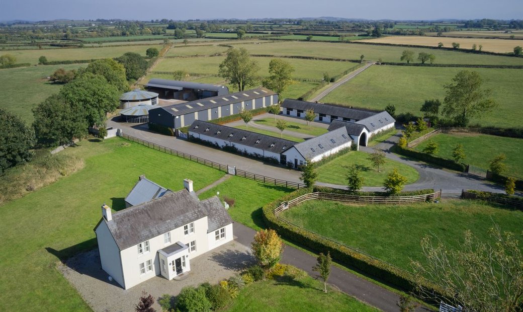
Situated immediately S of a field boundary of mature willows in low-lying gently undulating pasture, which slopes gently down W-wards towards a tributary of the Ballinacurra River. Not marked on the OS 1924 OS 6-inch map but identified on an aerial photograph during preliminary archaeological work on the N20 Limerick South Ring Road (OS 2 926, 1/5000, 2940) as a cropmark of a circular enclosure. The monument was not evident when the site was inspected.
Compiled by: Denis Power
Date of upload: 31 May 2013
The monument record does not grant public access. Check the route and ask the landowner before entering private land.
- What survives
- Recorded monument
Places near here
 Enclosure in Ballysheedy EastEnclosure · 440 yd
 CairnCairn, clearance cairn · 651 yd
 Not shown.Kiln, corn-drying · 854 yd
 St. Dominicks Church (in ruins)Church · 1172 yd
 Castle (in ruins)Castle, tower house · 1321 yd
 CastleCastle, ringwork · 1710 yd
 Limerick Seamen's MemorialMemorial · 2.0 mi
 Saint John Paul IIMemorial · 2.0 mi
 Fountain SculptureHeritage attraction · 3.2 mi
 Visitor CentreVisitor information · 3.2 mi
 Campus MapVisitor information · 3.3 mi
 Seán Keating GalleryGallery · 4.9 mi
Other information
Photo: Credit not shown in the picture search · Rights wording not checked; contact us if this picture should be removed